
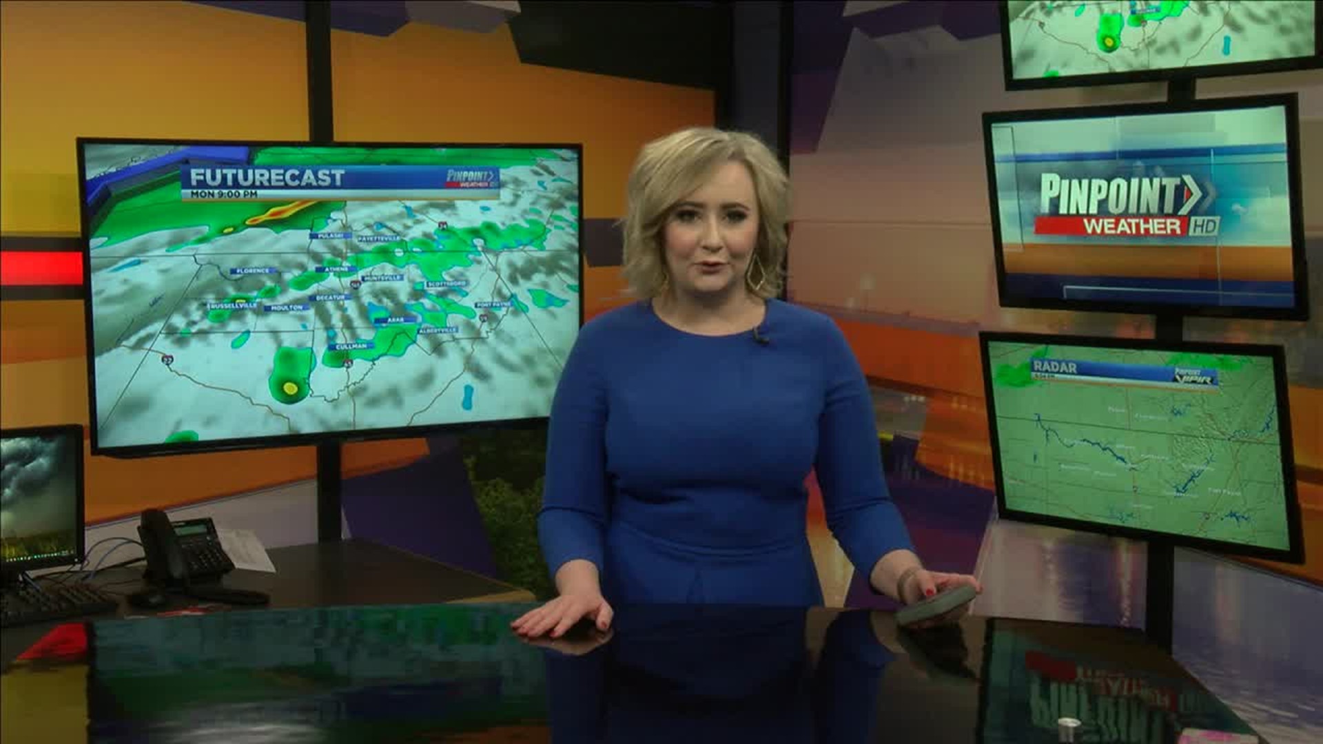
Happy Monday everyone! We’ve got rain on the way that looks to be transitioning into a wintry mix tomorrow. Let’s go ahead and jump right in!

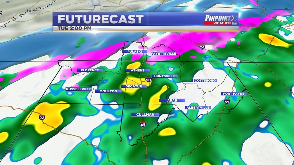
We’ve got a cold front that will be moving through the Valley around noon tomorrow that will be ushering in extremely cold air behind it. The cold air will aid in the transition from rain to a wintry mix/snow flurries. The cold front will knock our temperatures down into the 30s for the afternoon tomorrow also.

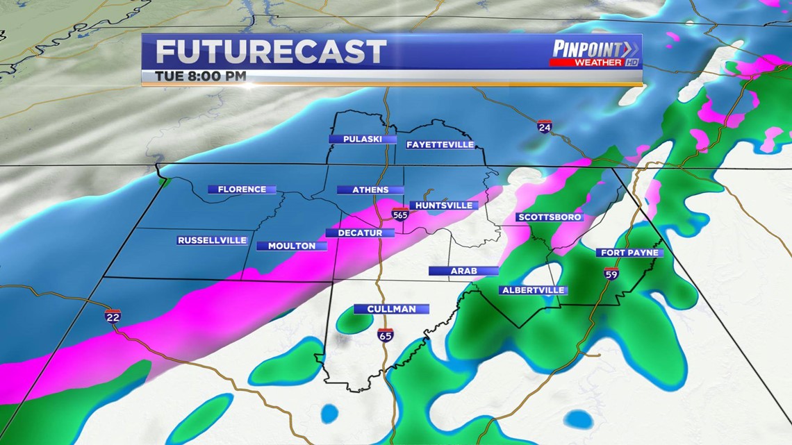
We’ll continue to see a wintry mix/snow flurries throughout the evening and possibly even the overnight hours tomorrow but no accumulation will be expected. Our atmosphere has not been cold long enough to support accumulation as our temperatures will start out in the upper 50s Tuesday morning.


Road temperatures will not get out of the 40s tomorrow, which will help us to not see accumulation on roadways. I am not expecting travel to become an issue, however elevated areas could see a few slick spots.