
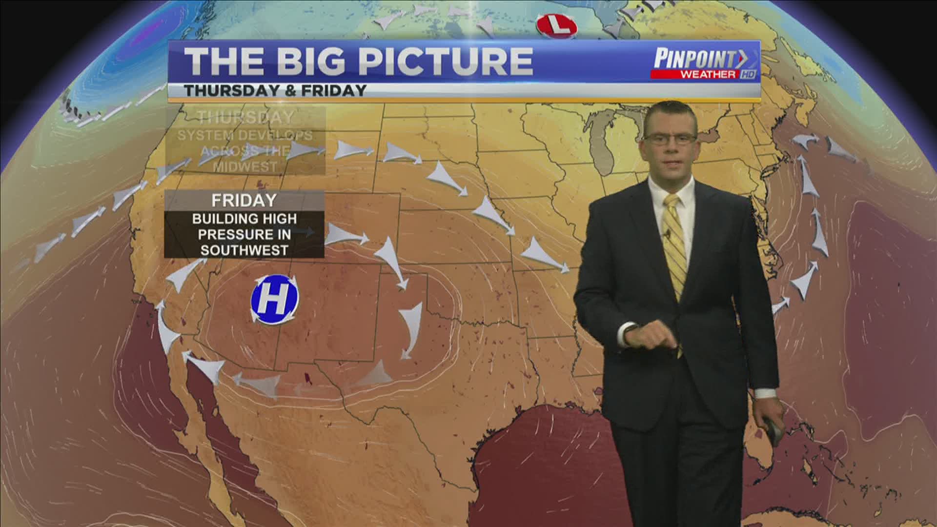
HUNTSVILLE, Ala. — Over the last few days we've been under the influence of an area of low pressure and an associated boundary to the south. That low is now over the Carolinas and has the potential to transition into a tropical storm. Through the next 48 hours it has a 70% chance of further development.
Back across the continental United States we're watching and an upper-level trough to our north. This will allow our winds to become more northerly. This doesn't really mean anything for our forecast except that activity will be more scattered on Thursday compared to what we've seen today.

We're also watching an area of high pressure across the SW. This high will grow and intensify through Friday and the weekend. This means the SW could be dealing with some extreme Summer heat.
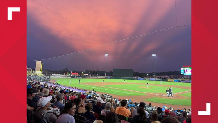
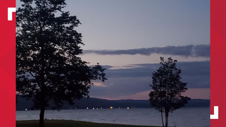
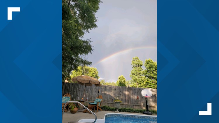
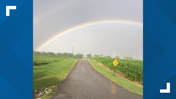
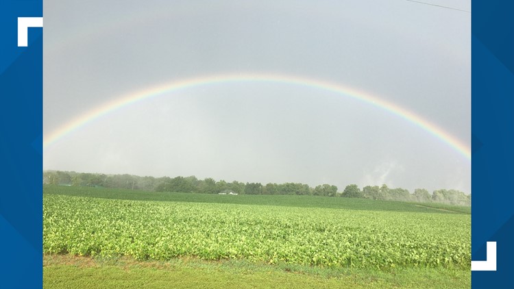
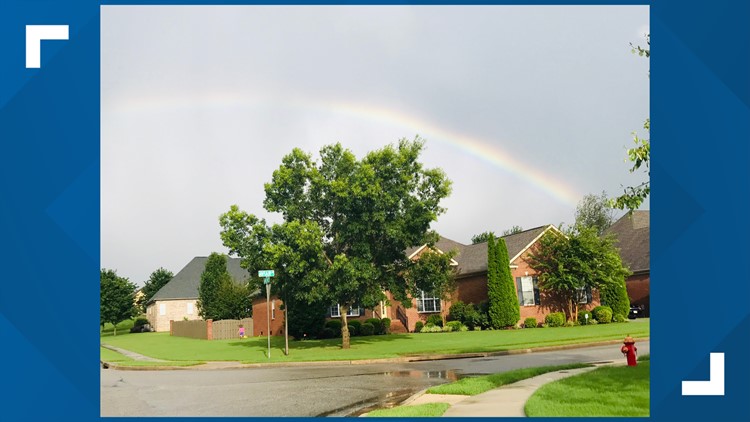
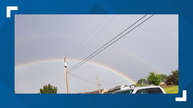
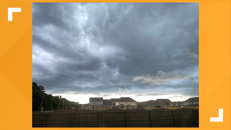
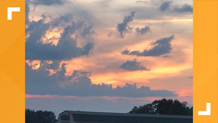
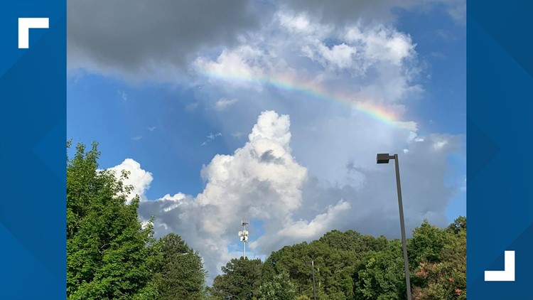
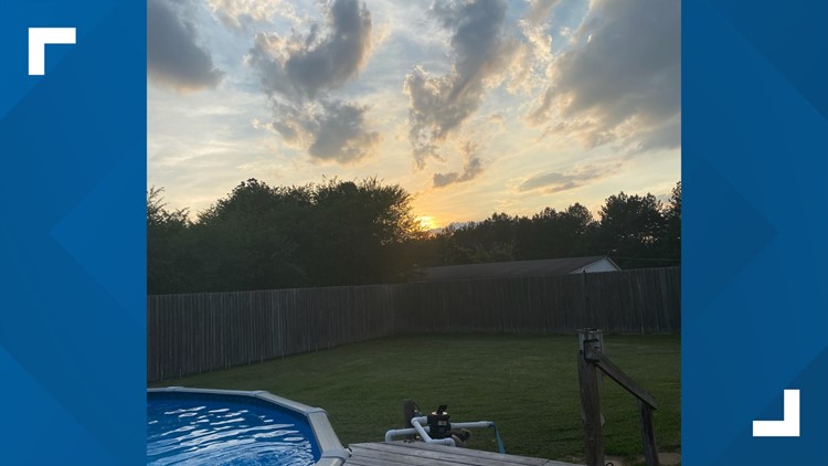
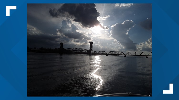
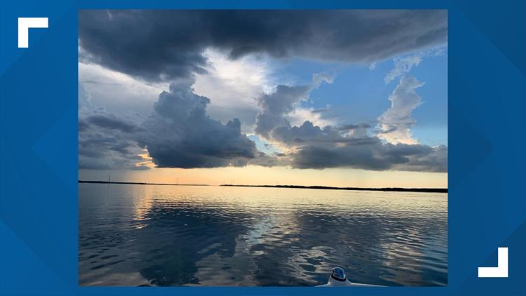
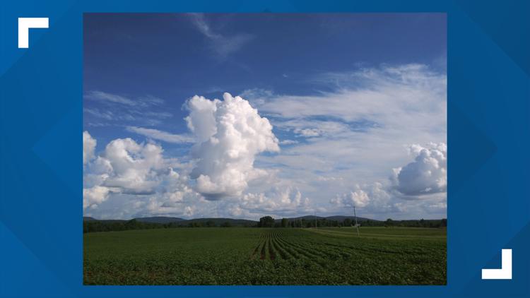
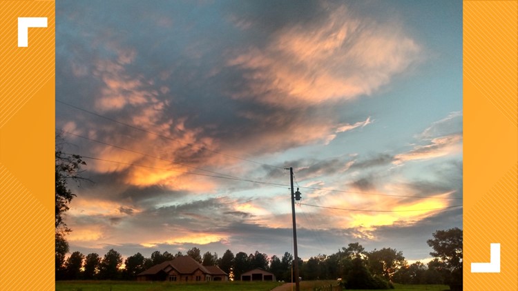
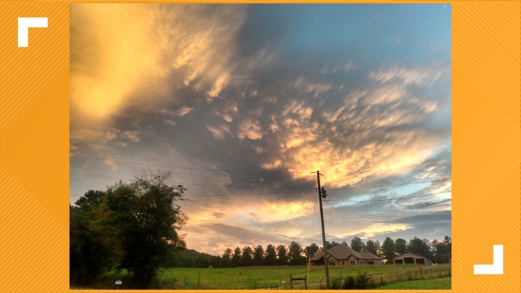
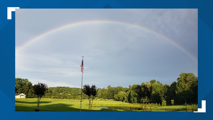
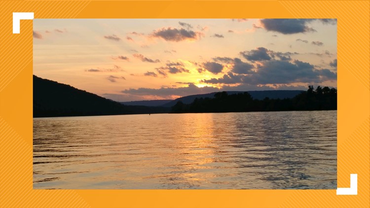
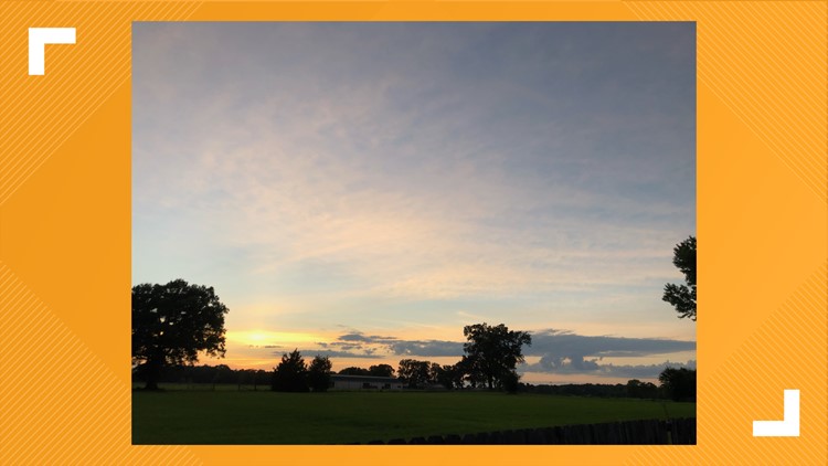
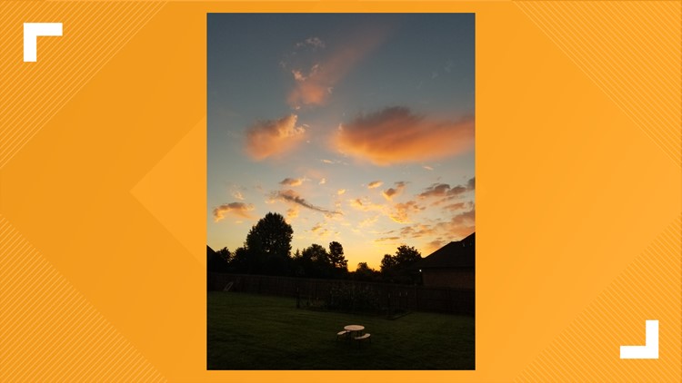
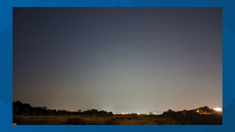
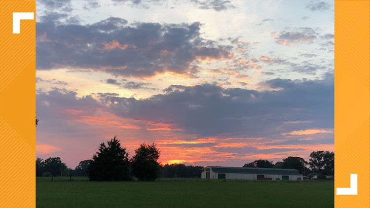
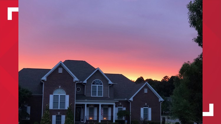
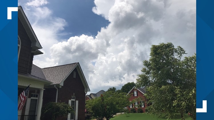
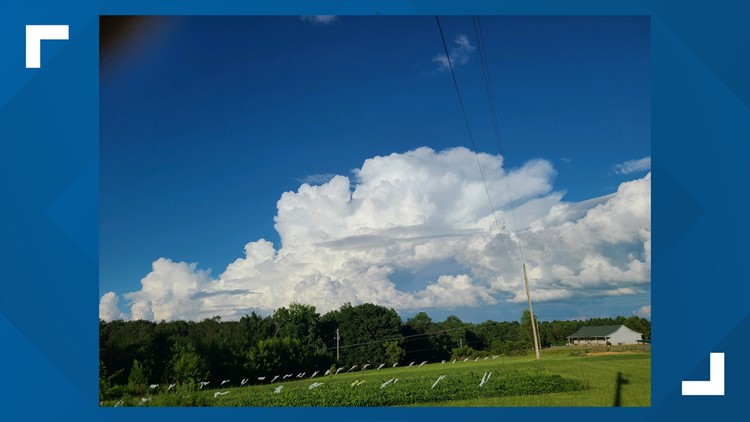
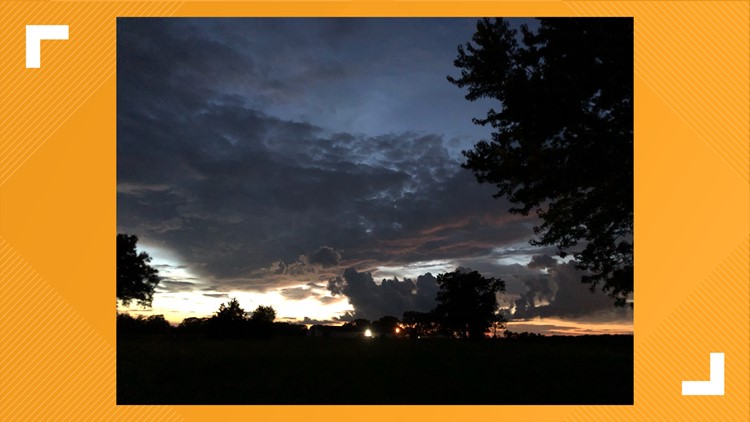
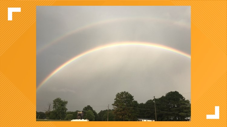
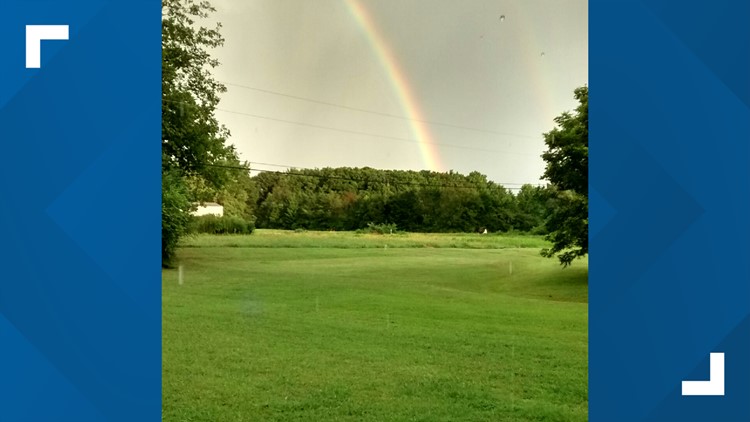
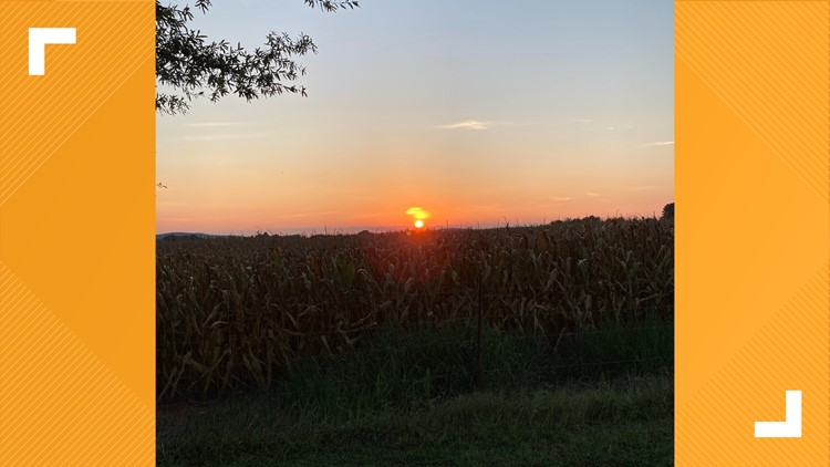
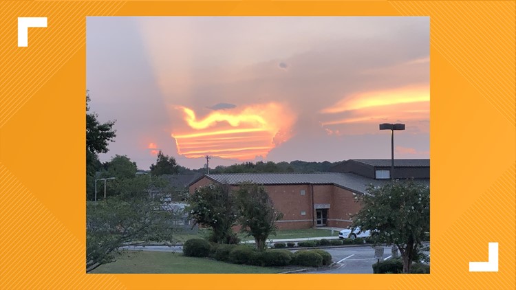
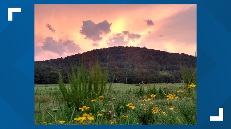
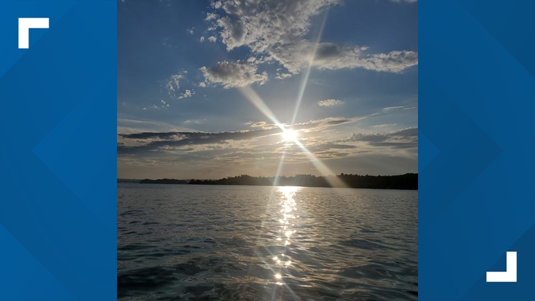
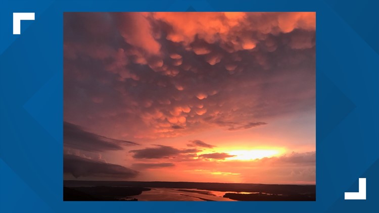
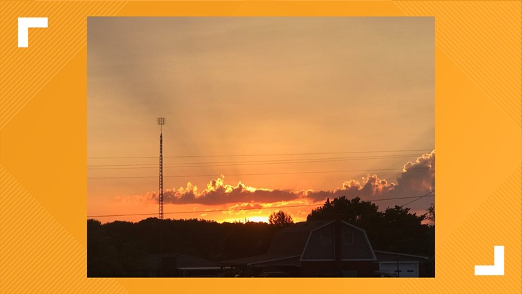
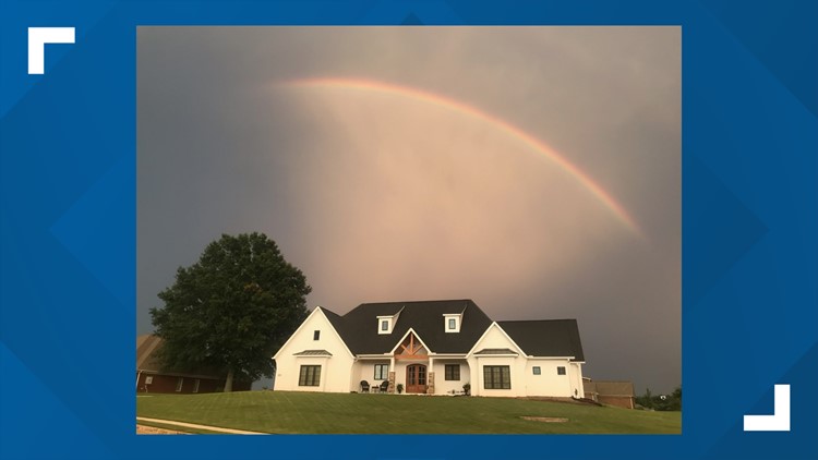
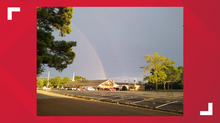
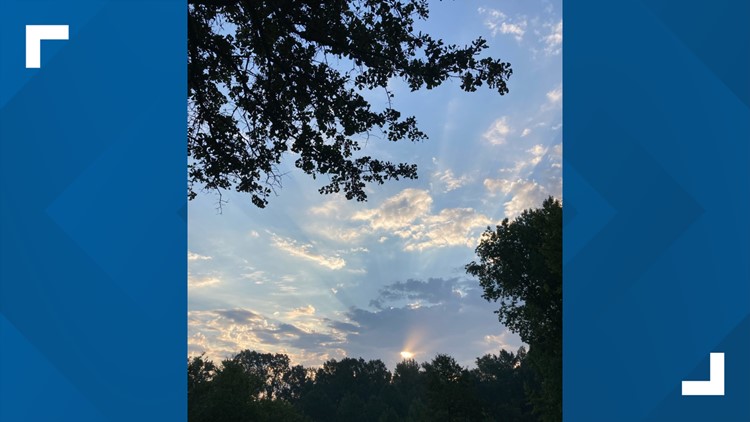
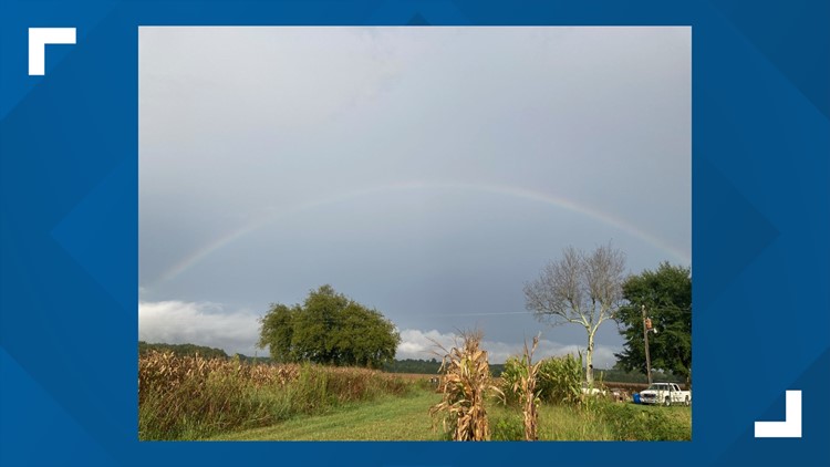
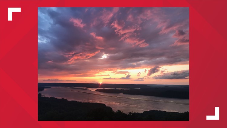
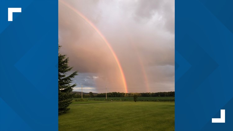
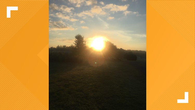
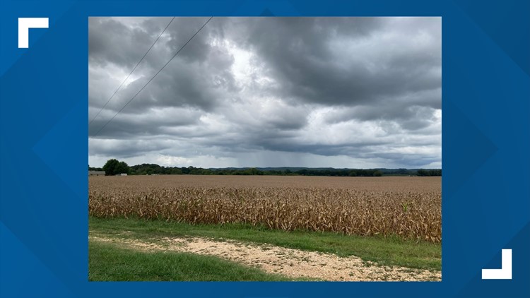
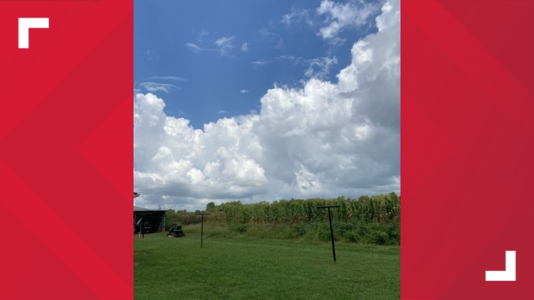
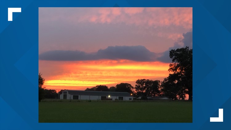
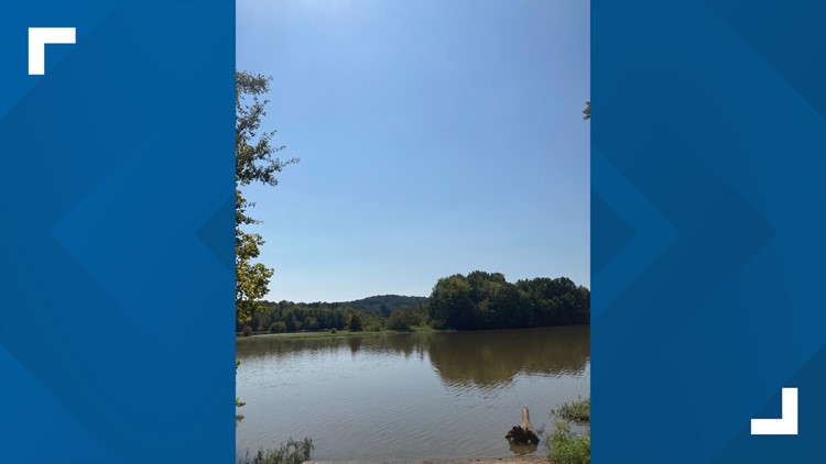
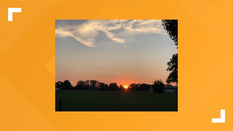
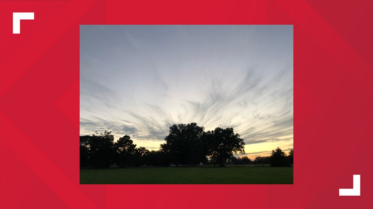
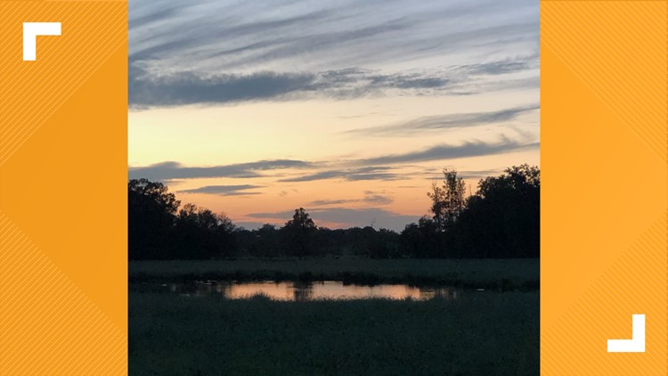
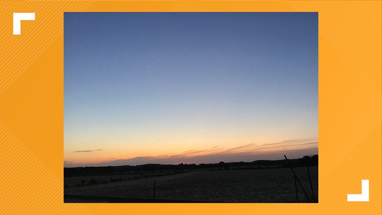
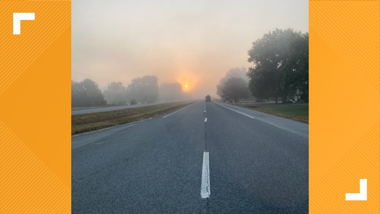
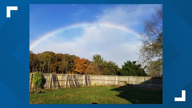
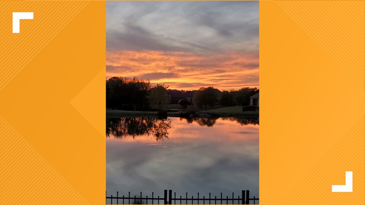
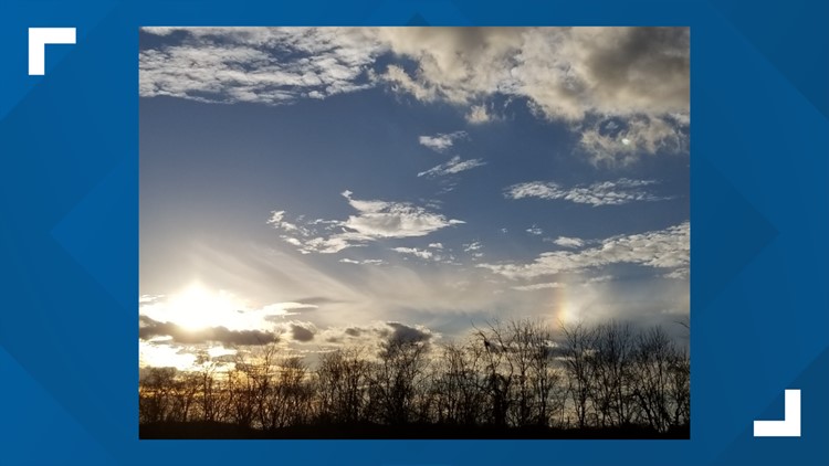
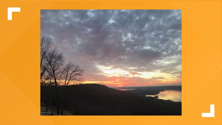
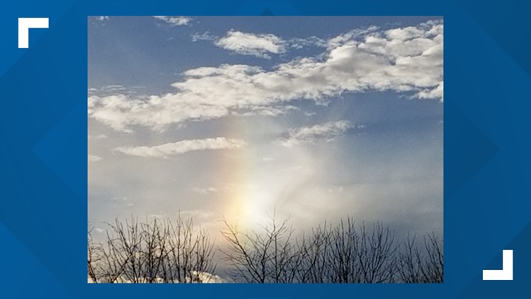
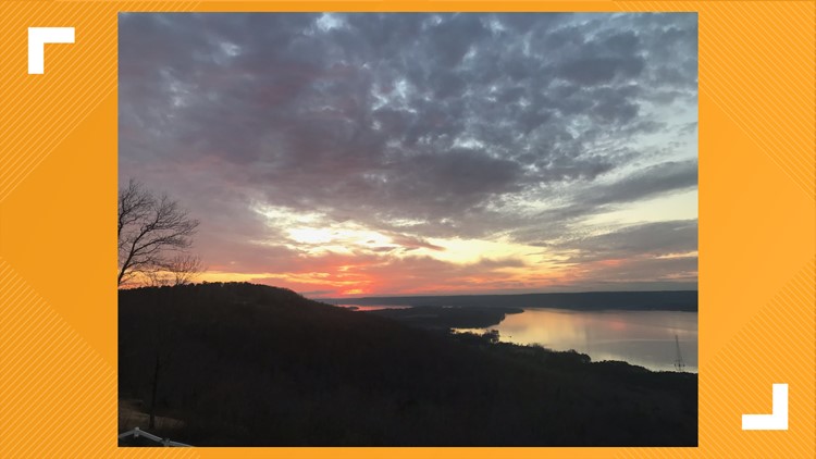
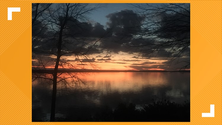
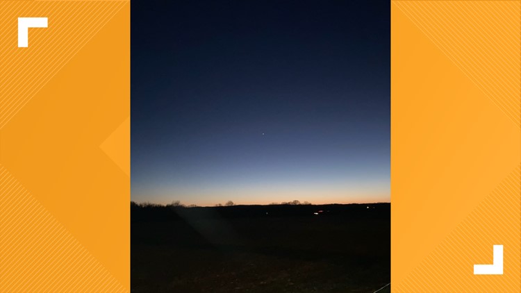
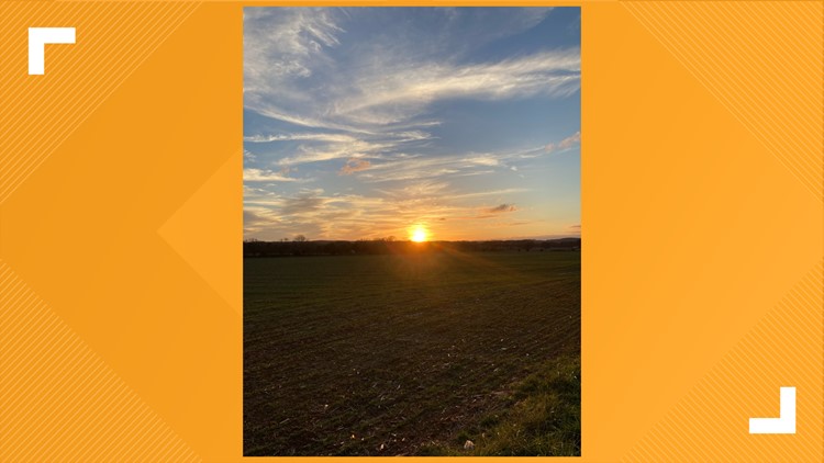
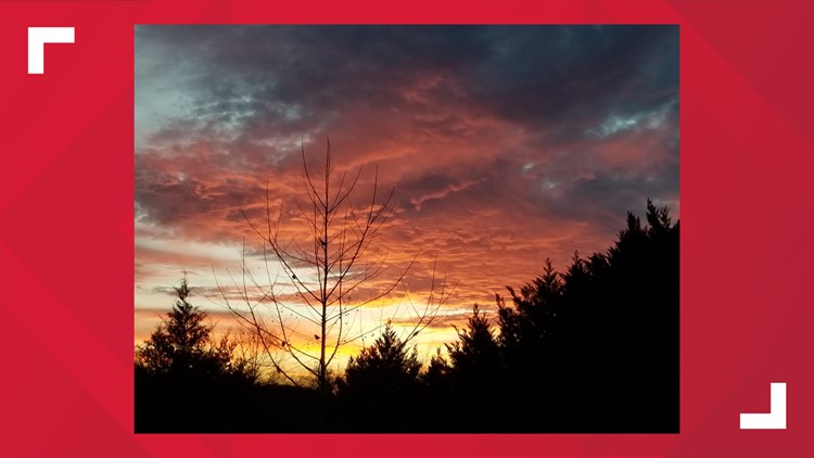
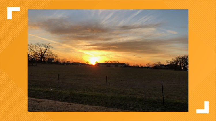
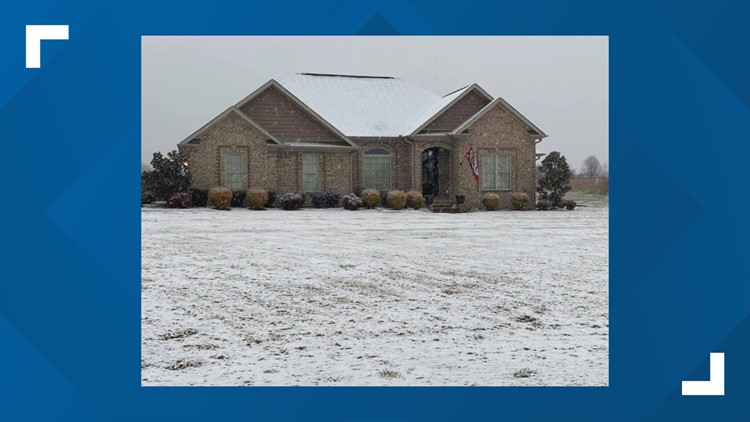
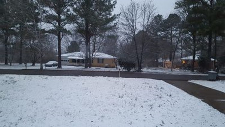
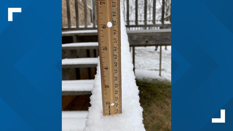
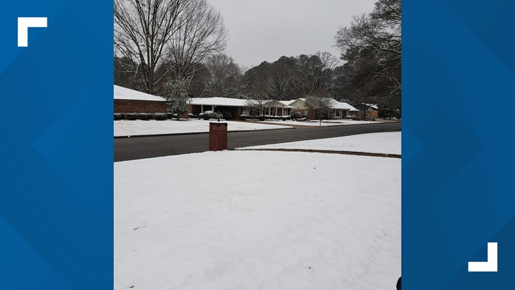
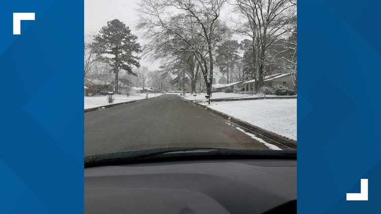
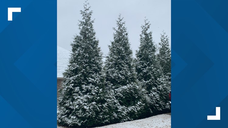
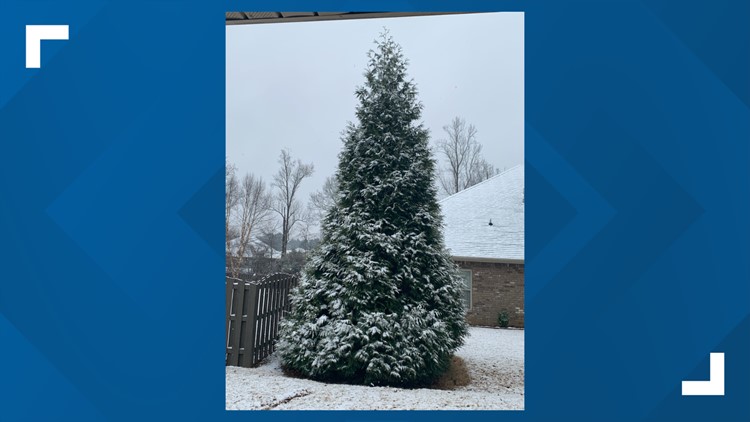
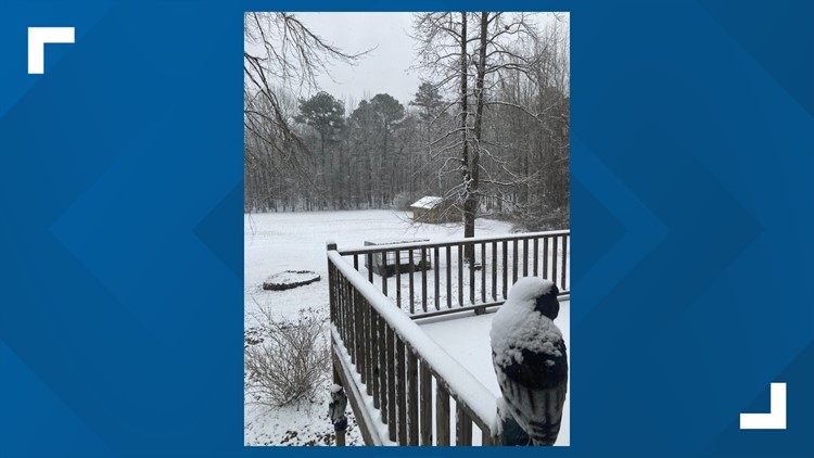
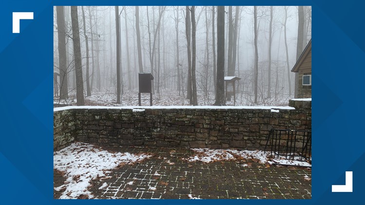
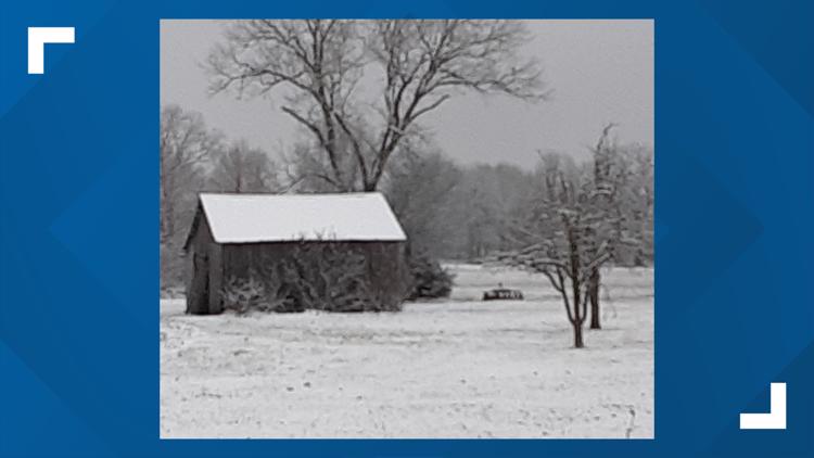
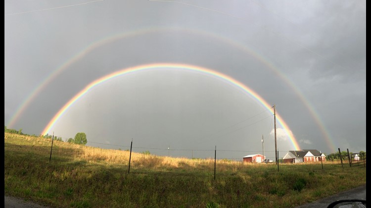
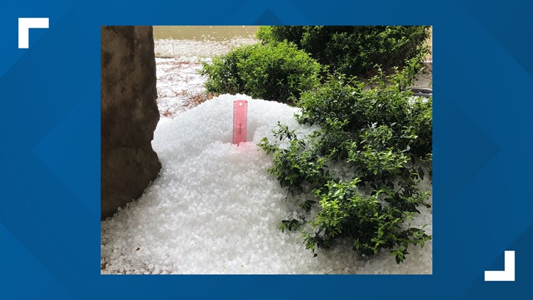
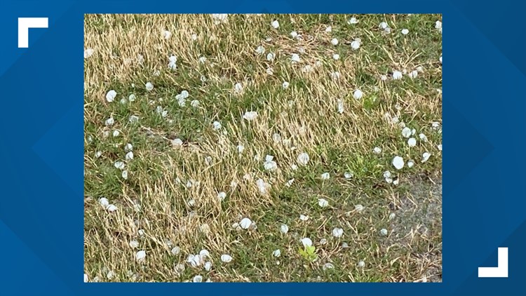
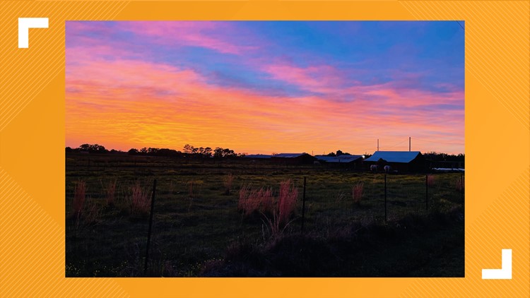
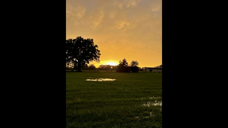
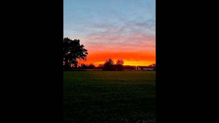
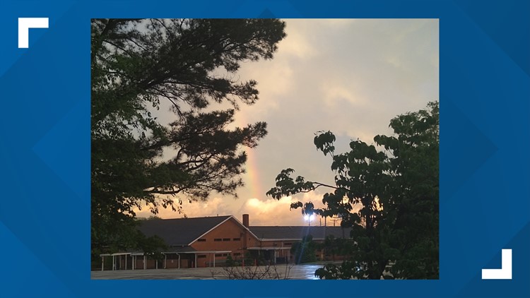
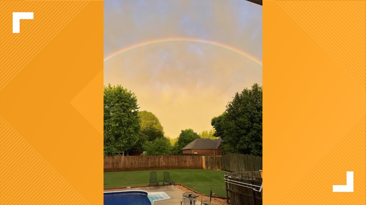
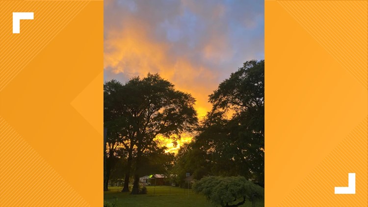
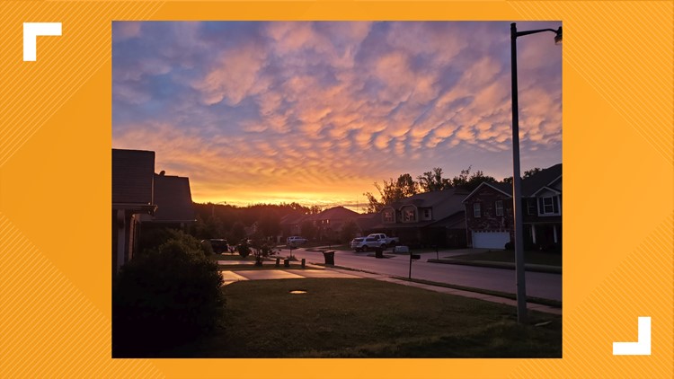
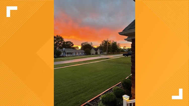
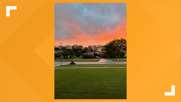
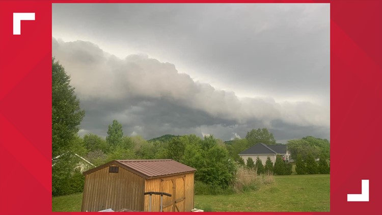
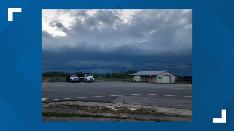
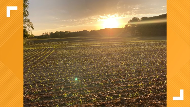
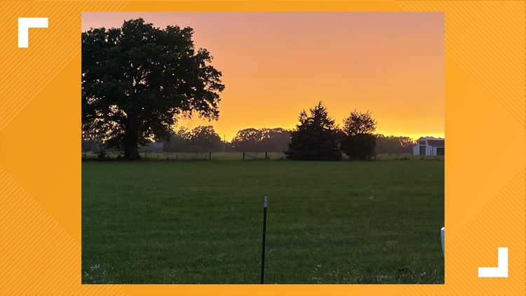
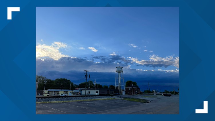
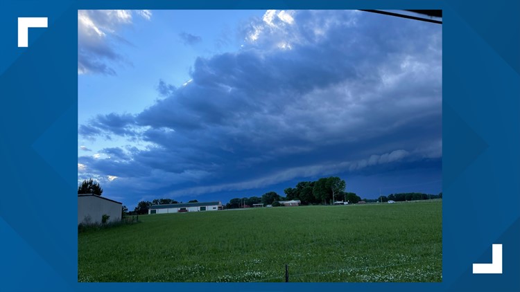
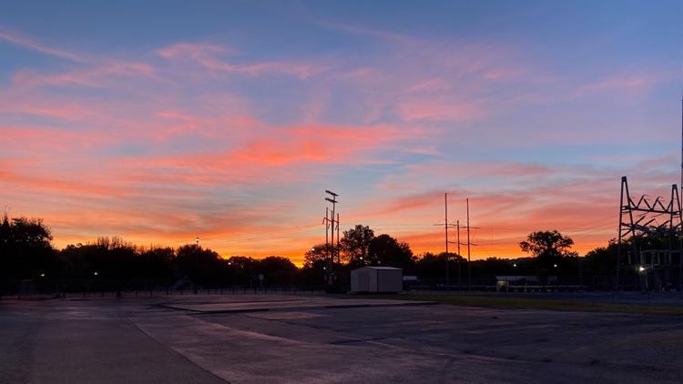
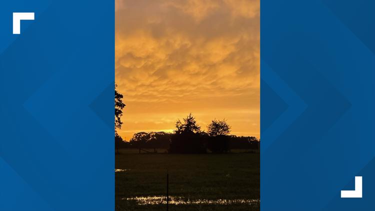
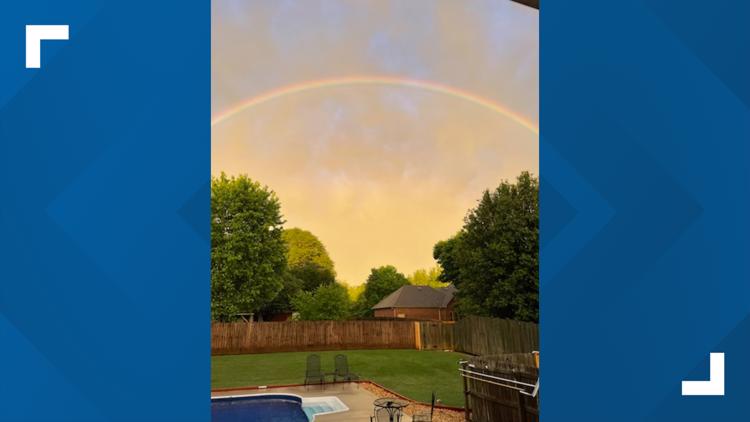
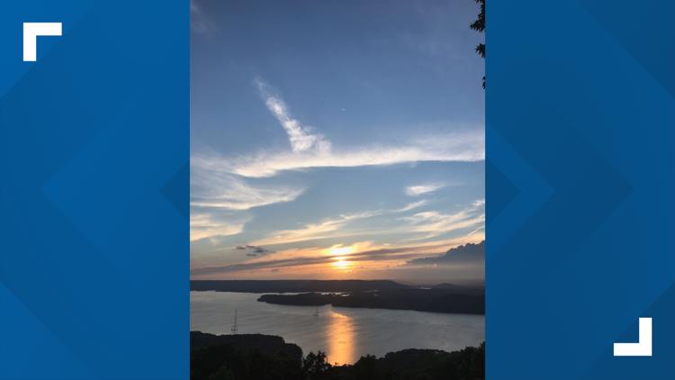
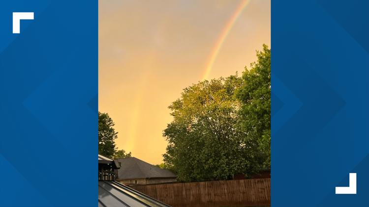
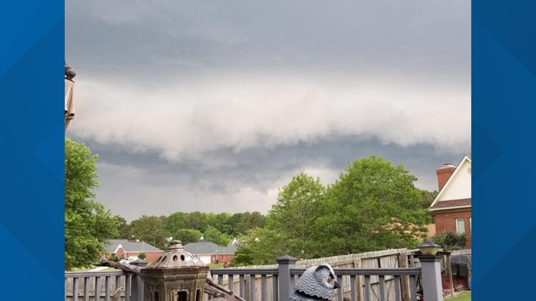
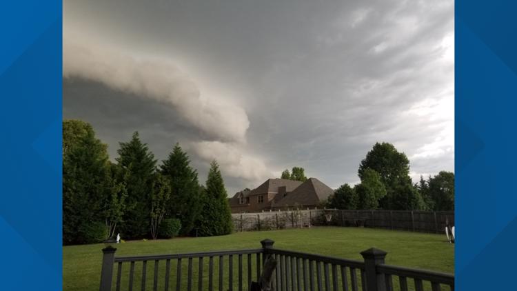
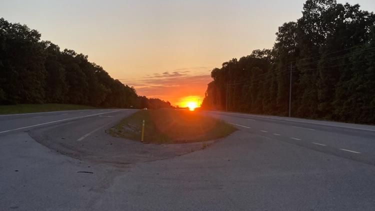
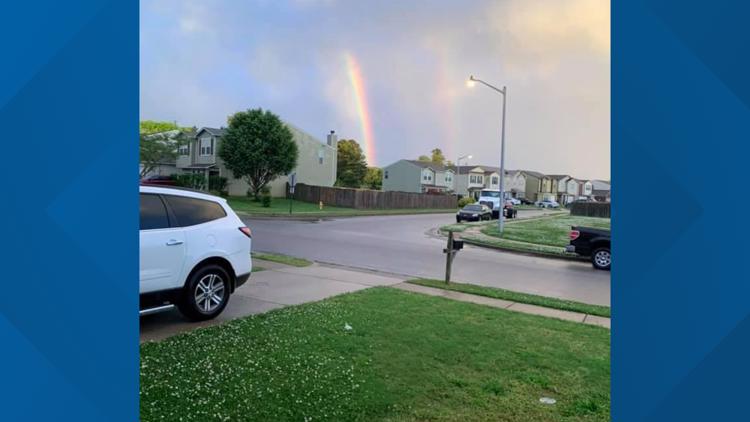
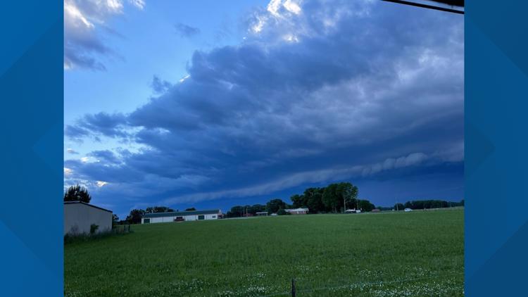
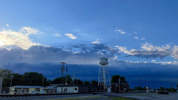
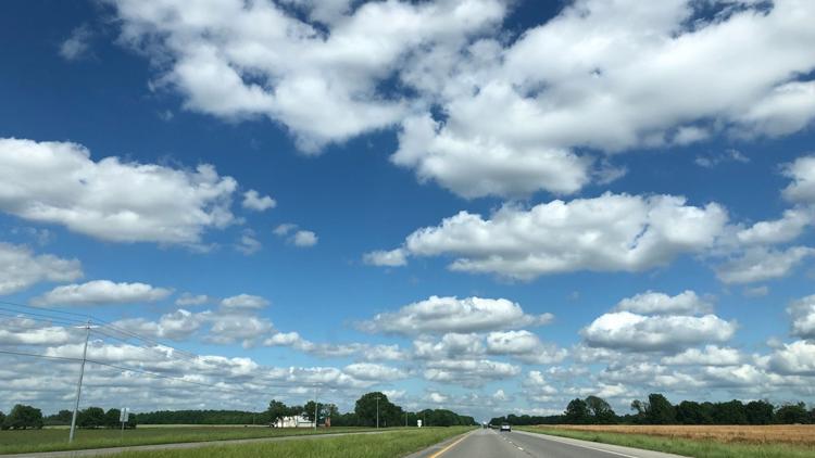
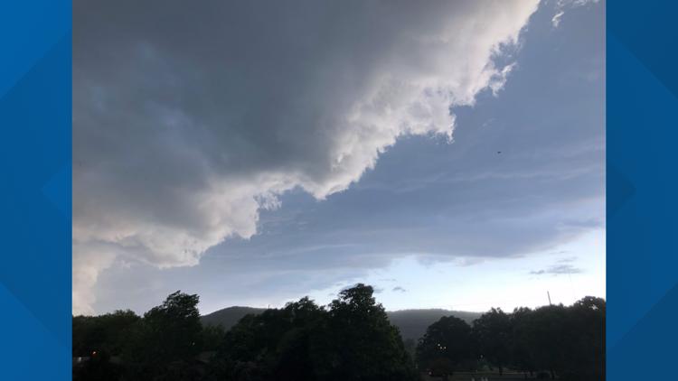
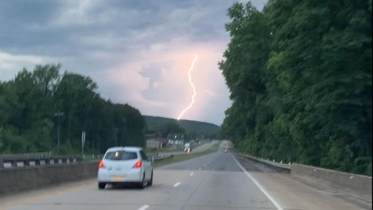
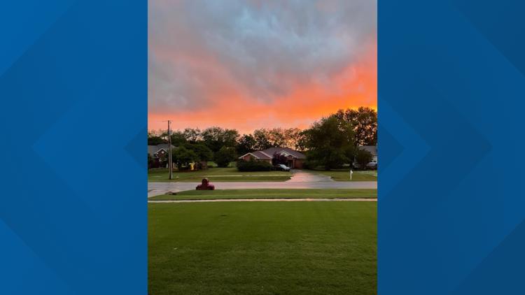
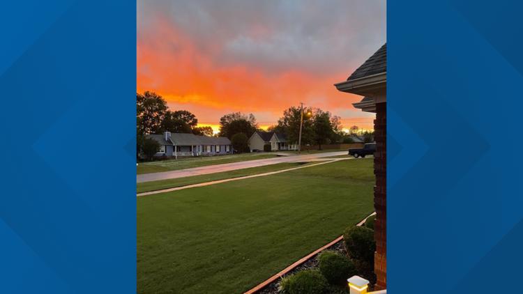
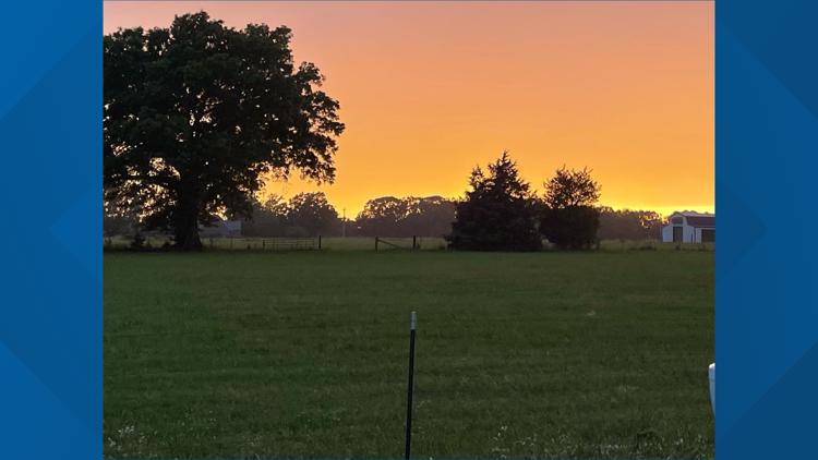
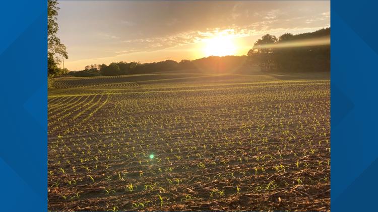
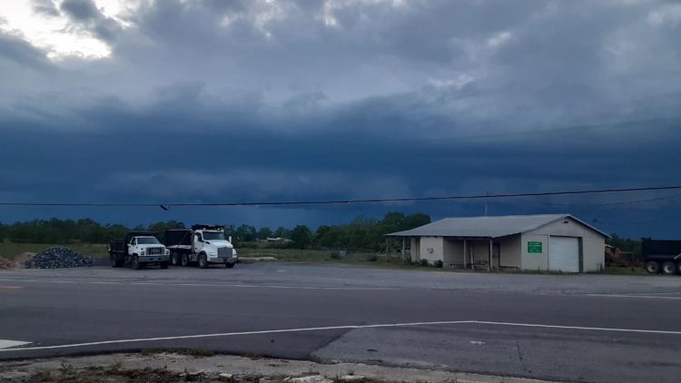
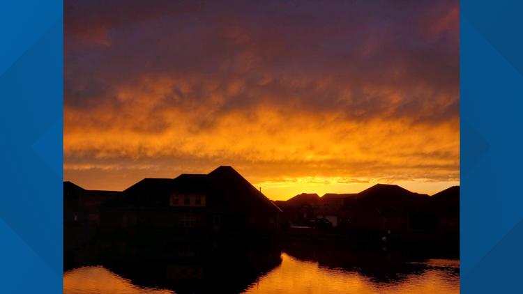
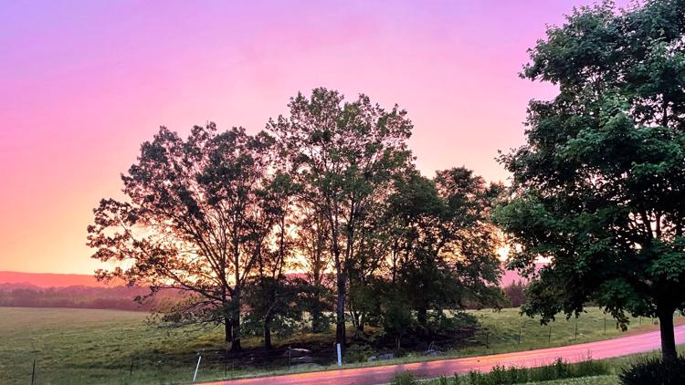
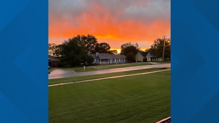
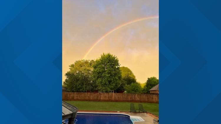
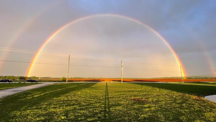
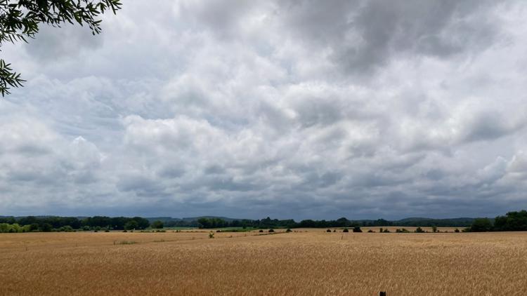
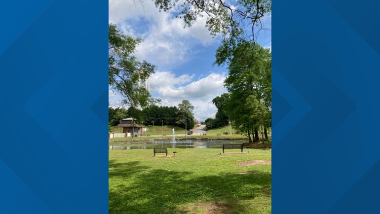
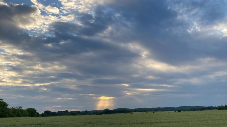
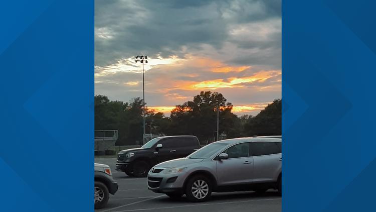
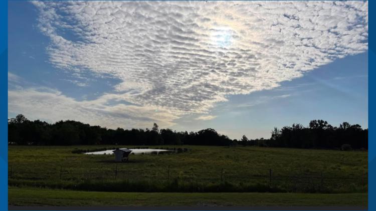
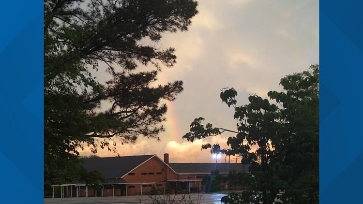
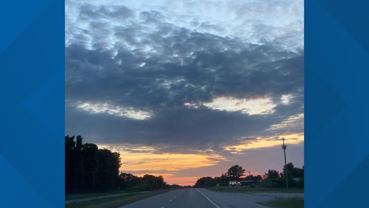
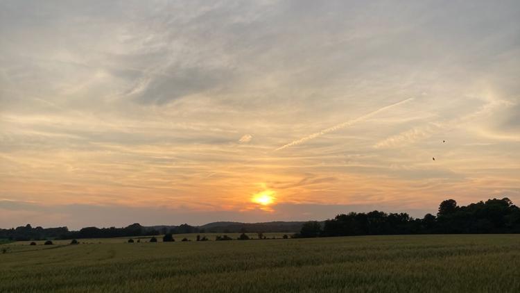
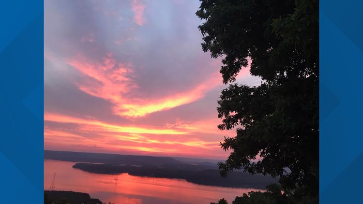
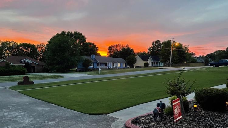
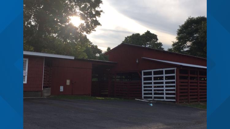
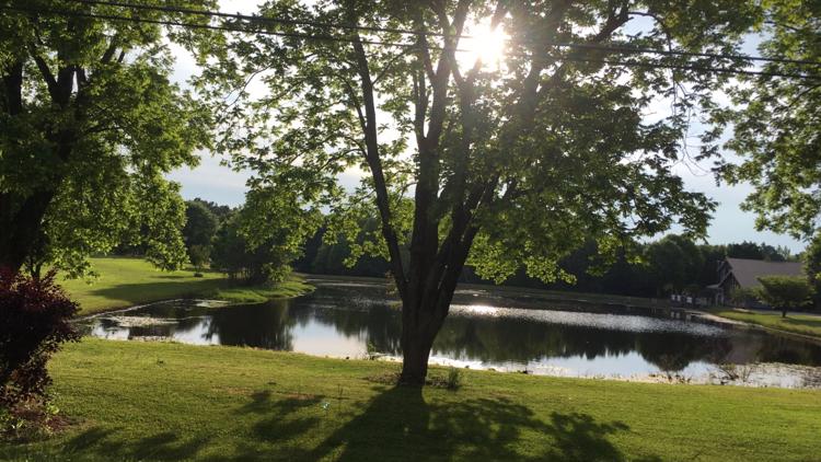
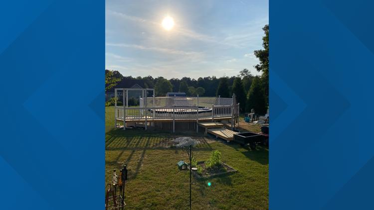
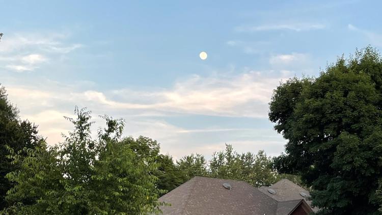
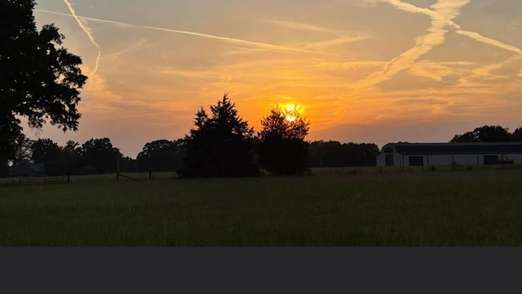
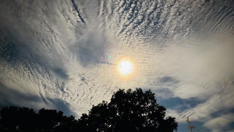
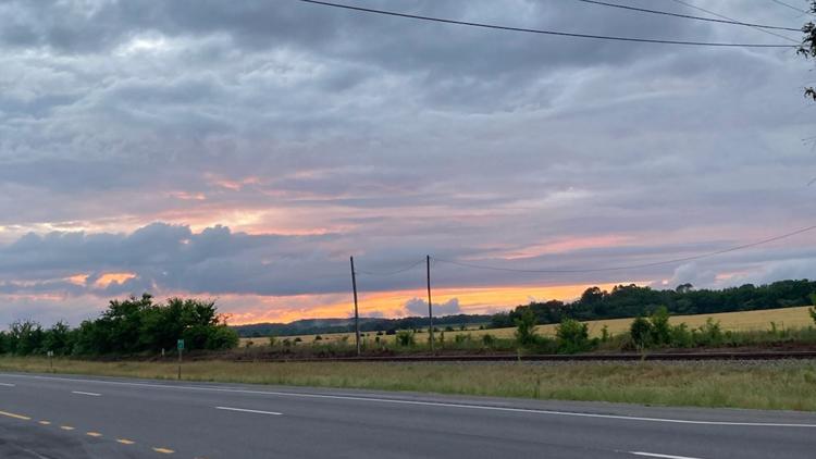
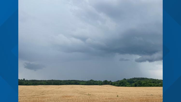
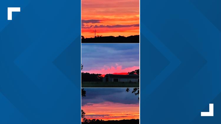
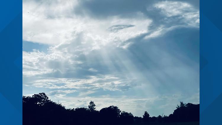
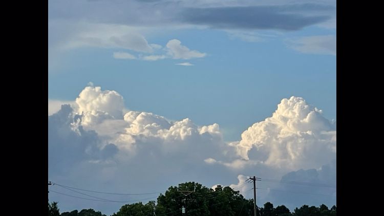
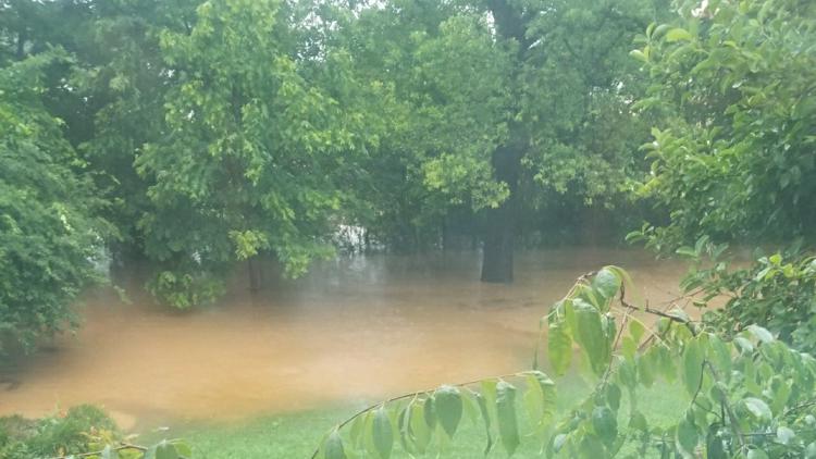
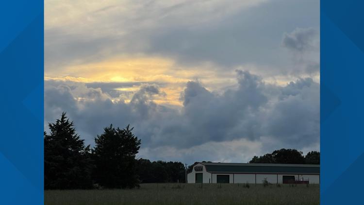
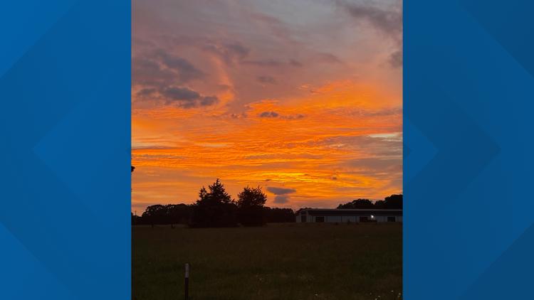
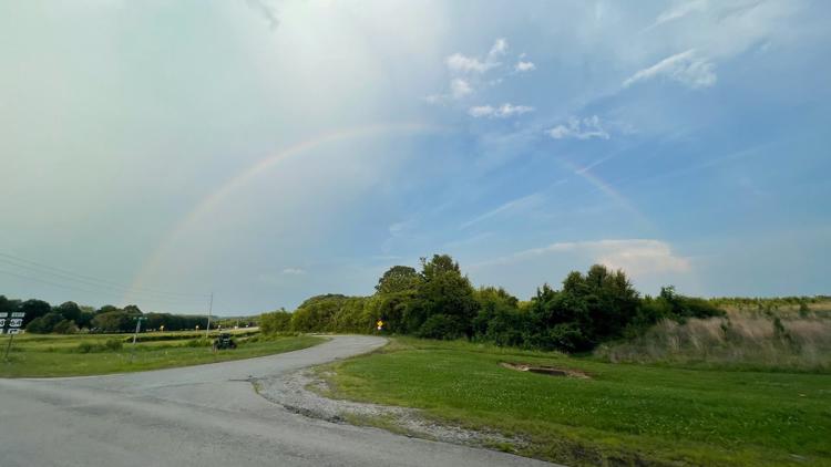
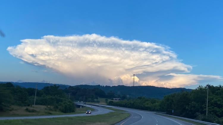
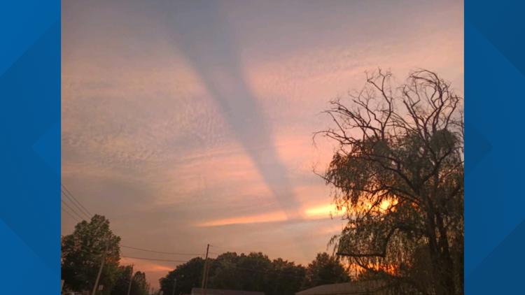
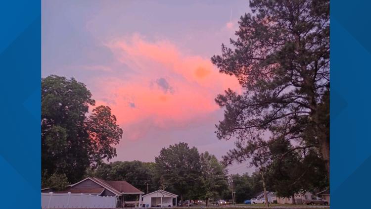
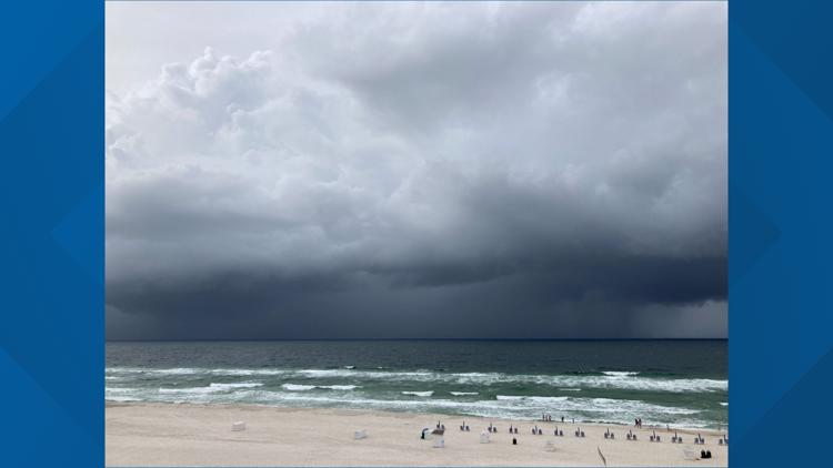
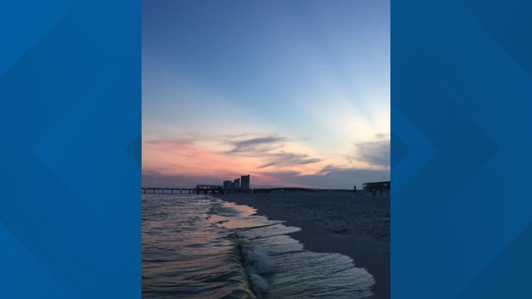
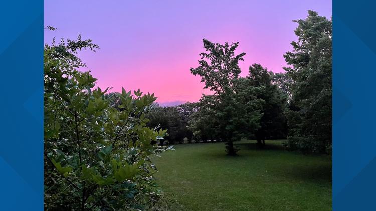
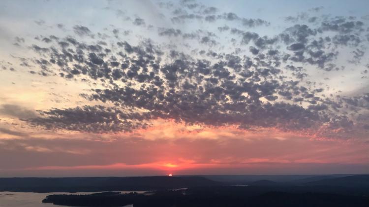
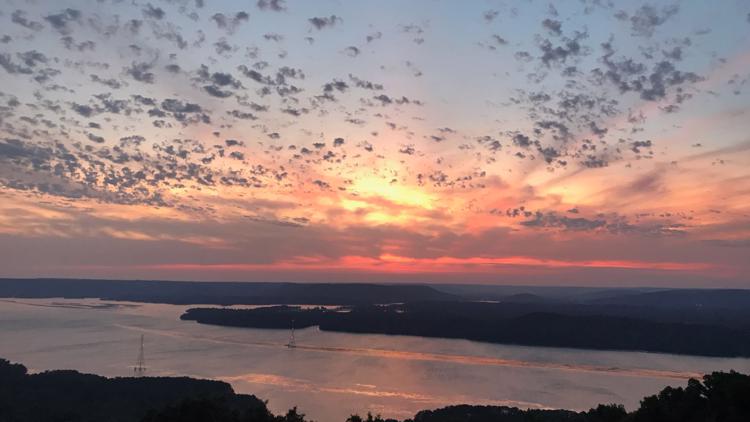
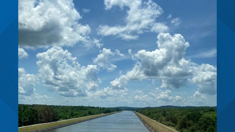
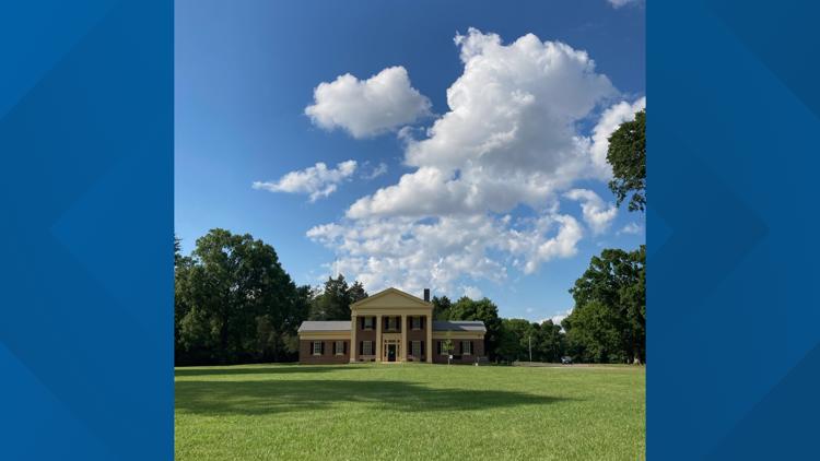
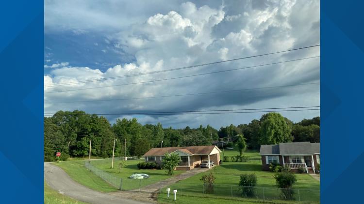
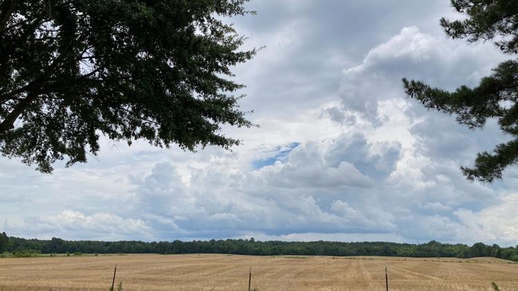
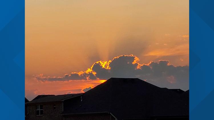
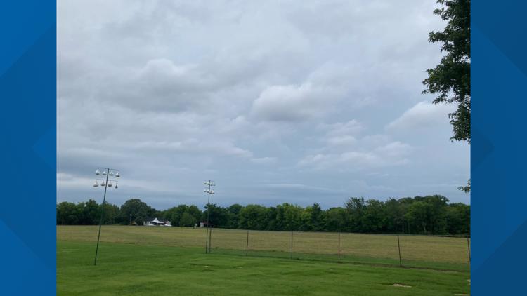
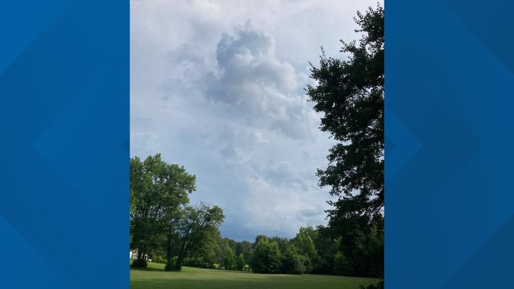
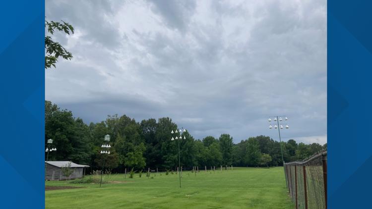
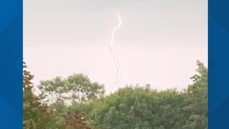
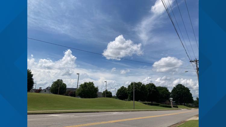
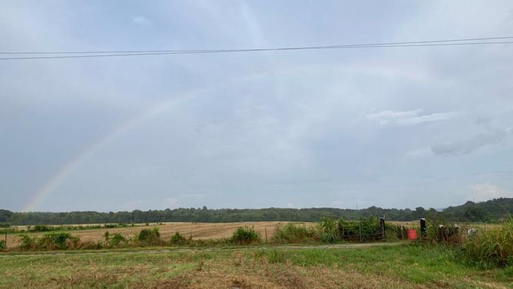
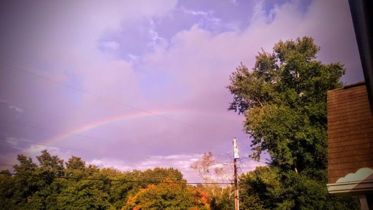
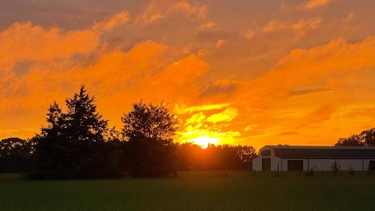
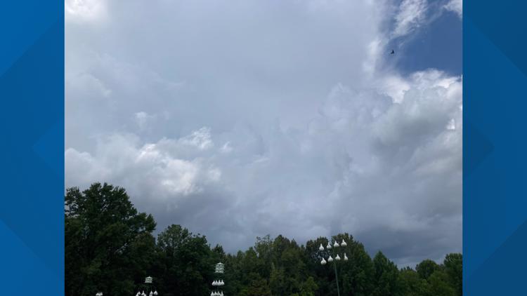
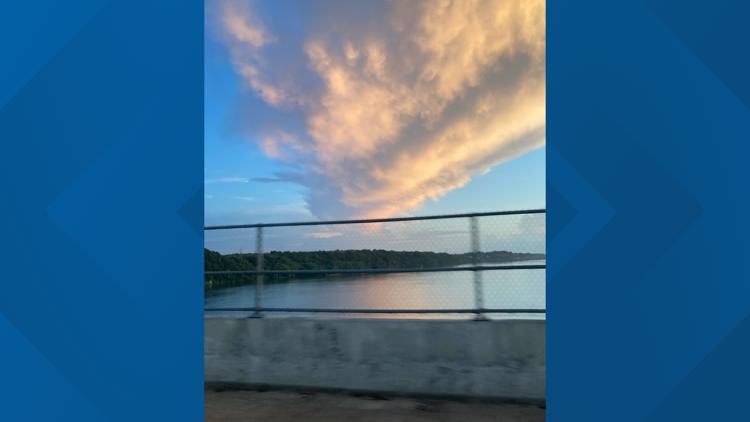
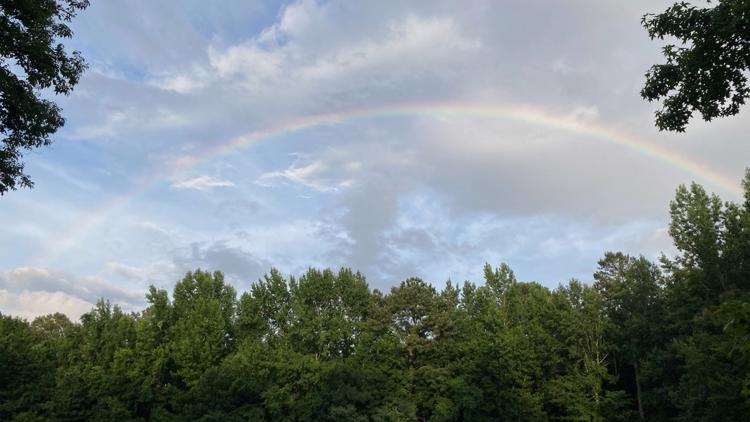
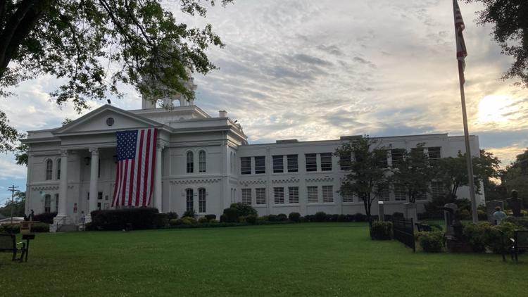
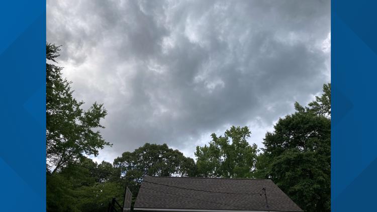
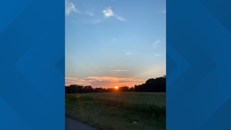
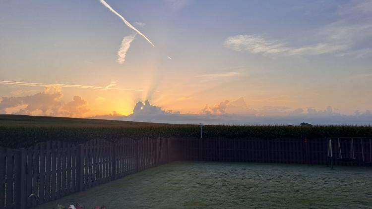
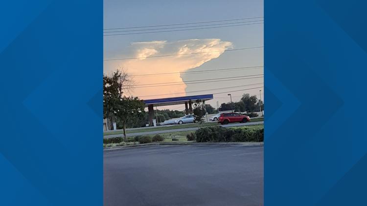
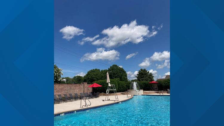
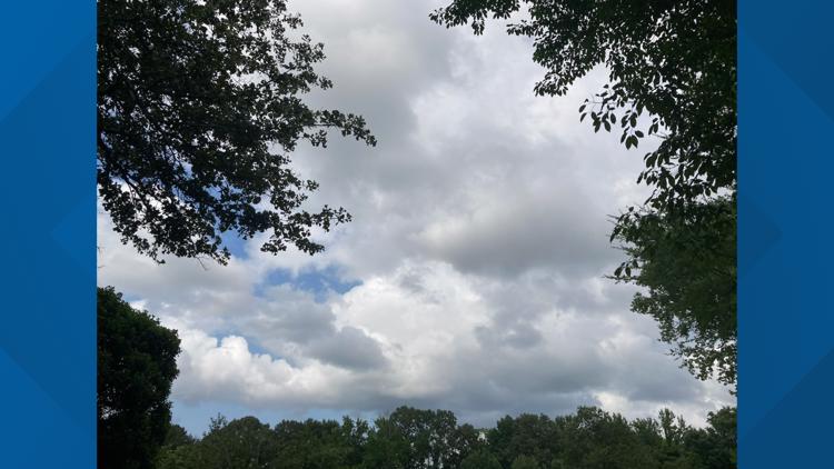
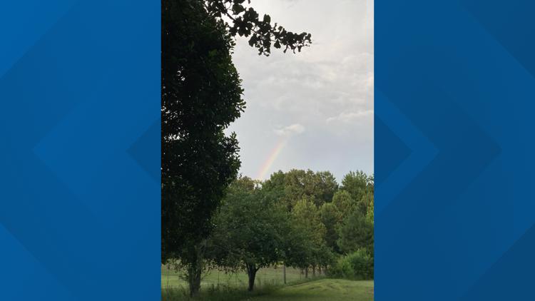
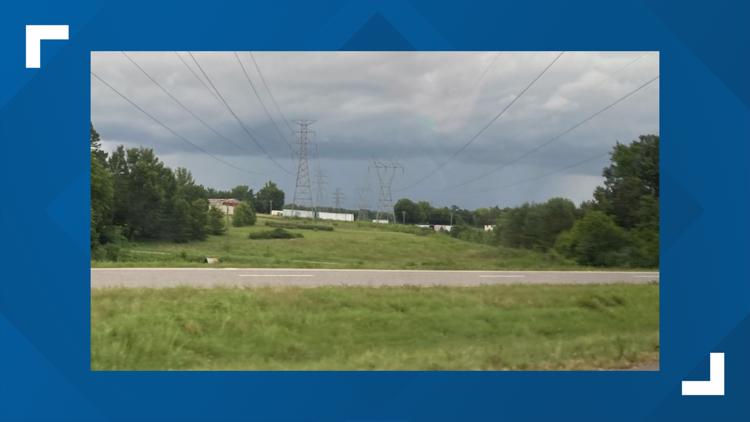
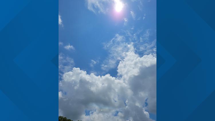
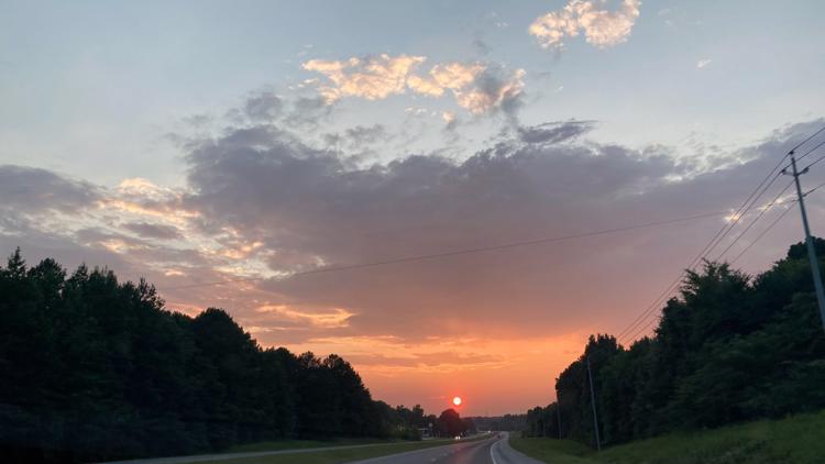
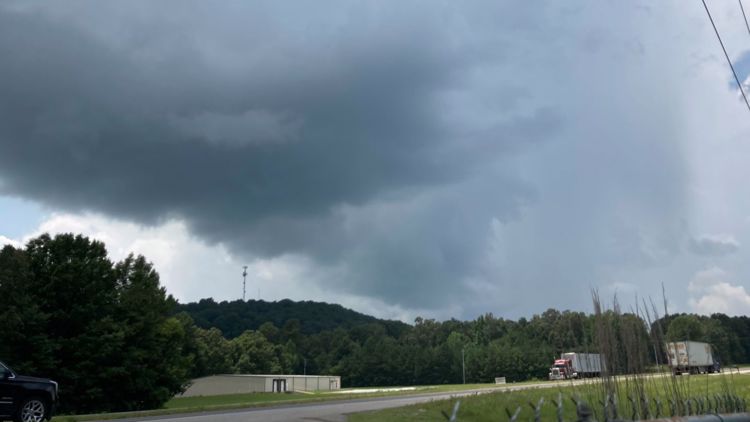
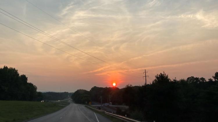
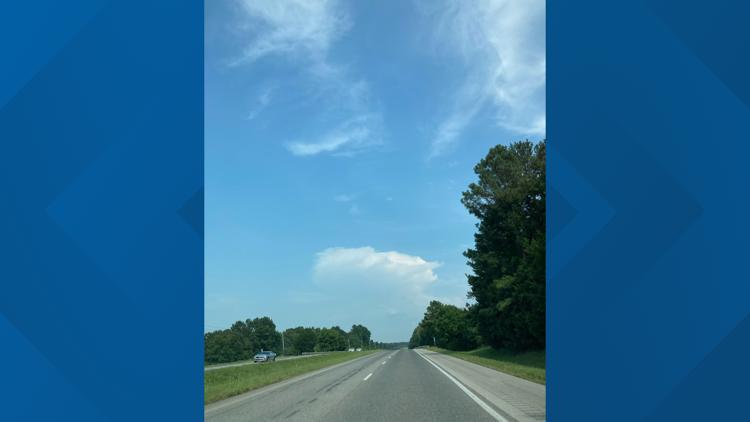
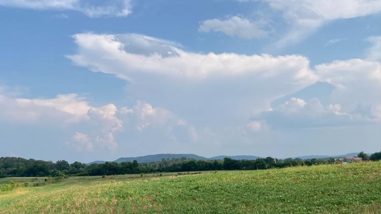
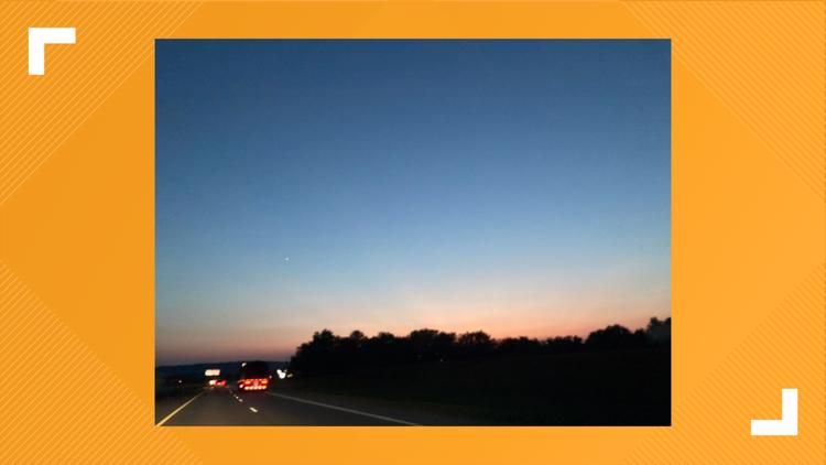
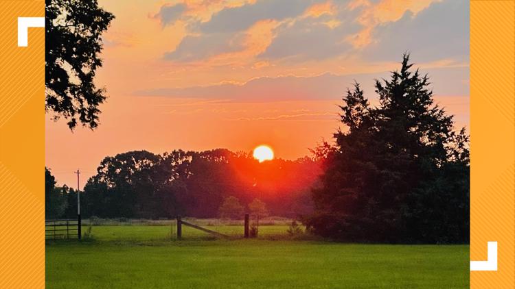
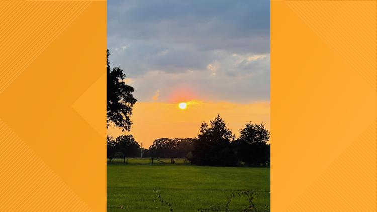
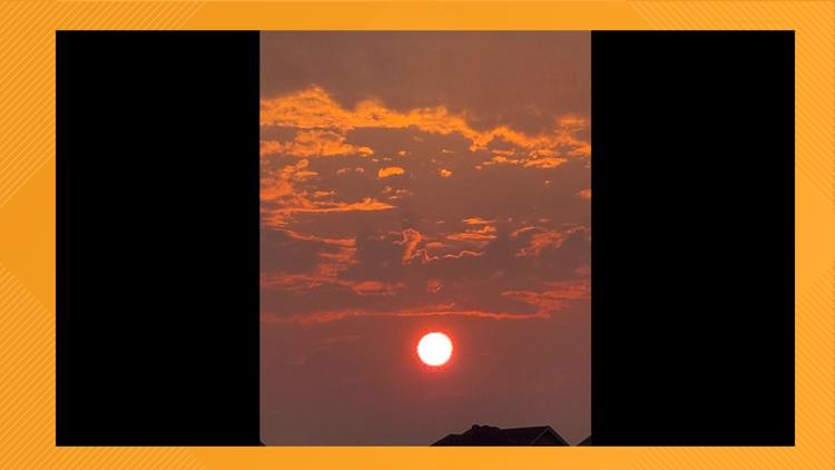
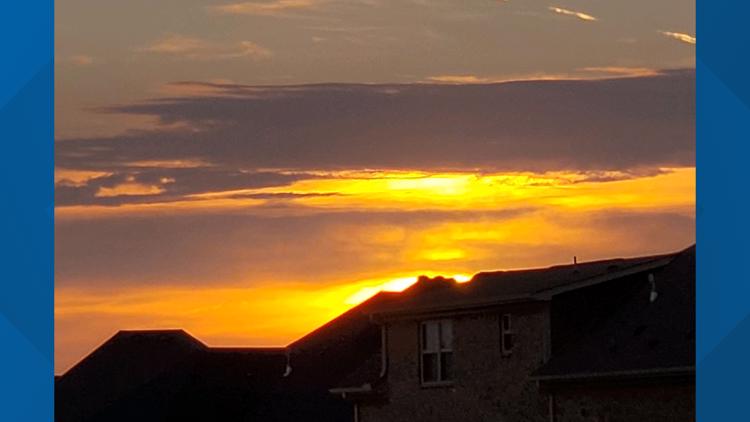
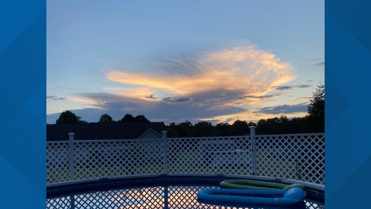
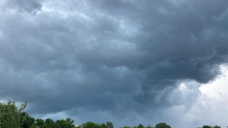
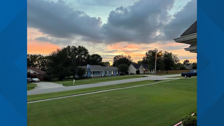
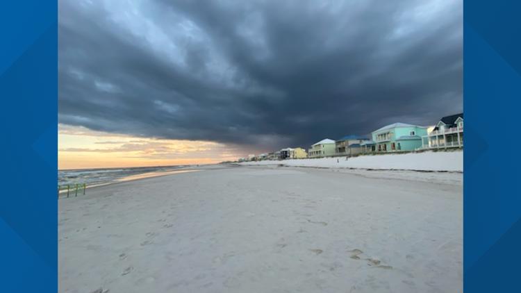
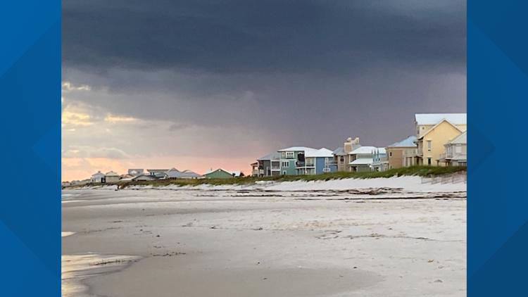
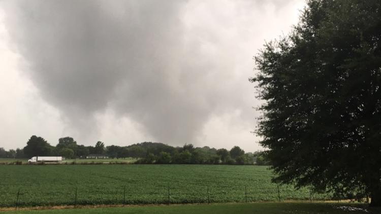
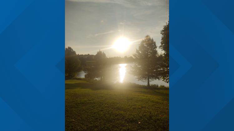
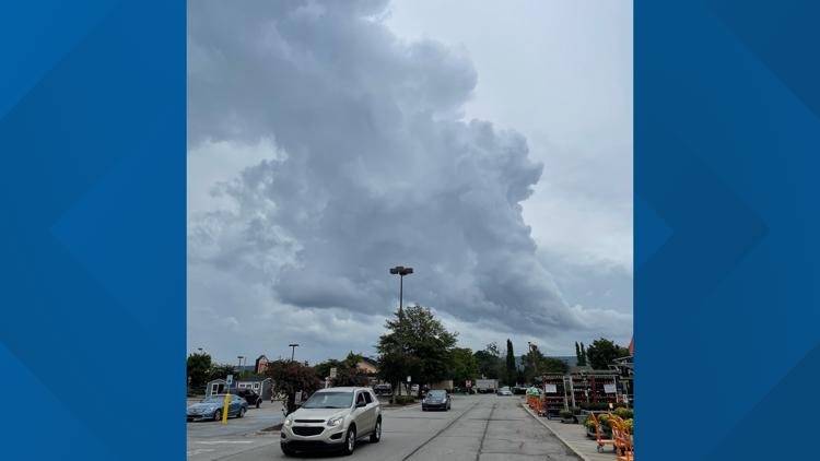
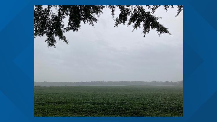
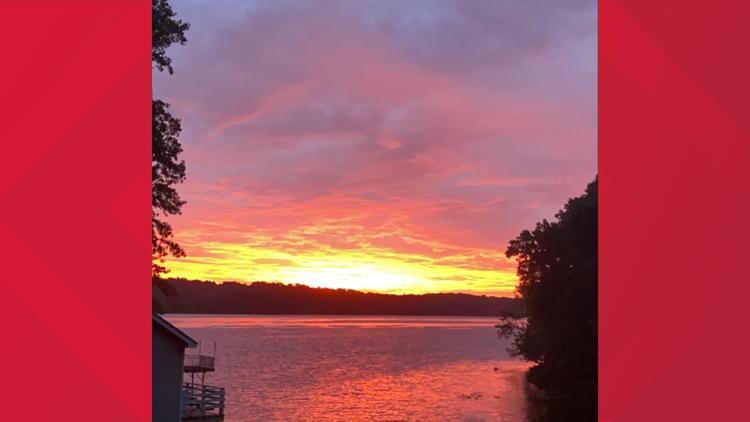
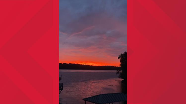
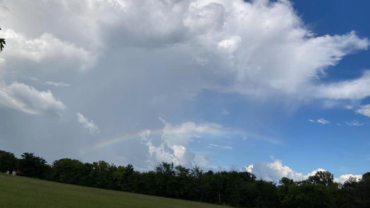
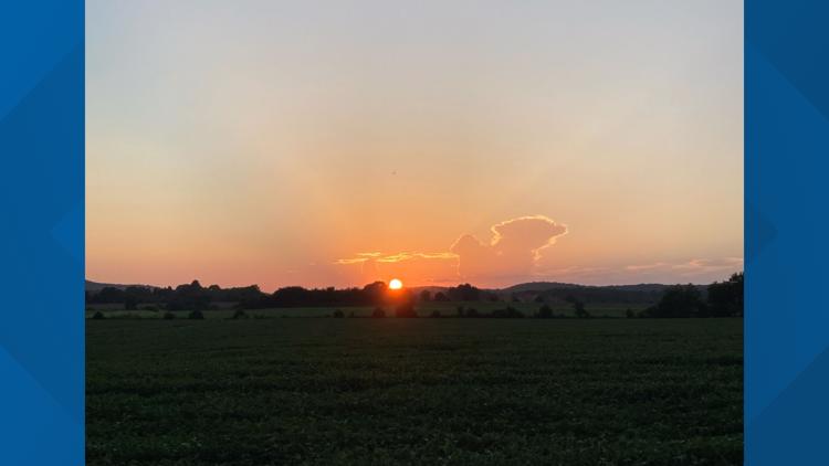
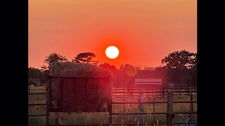
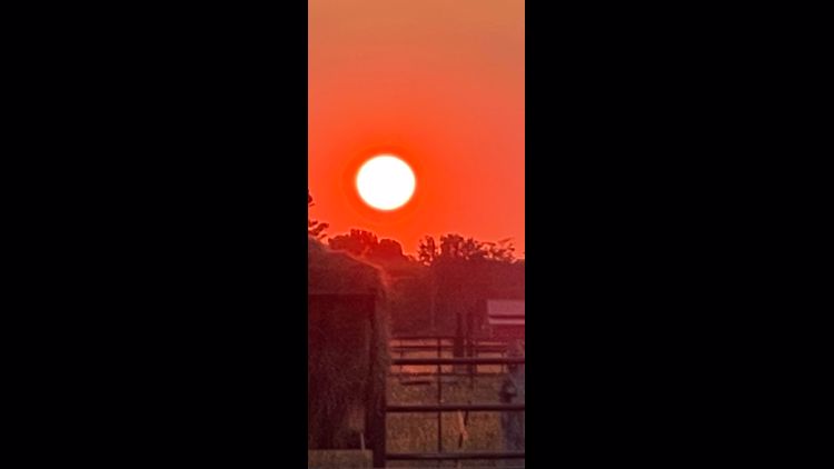
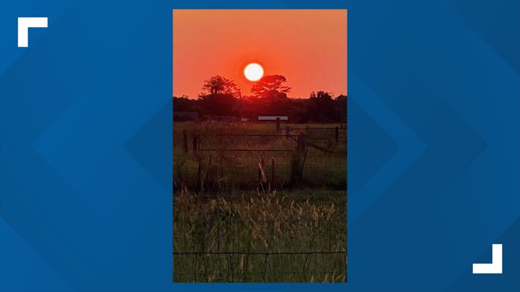
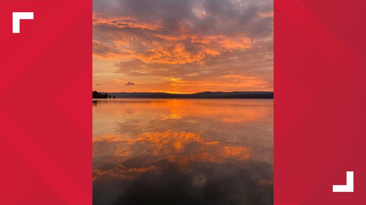
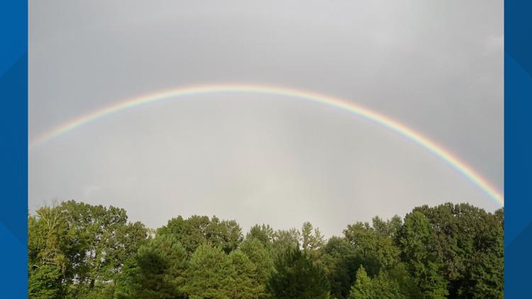
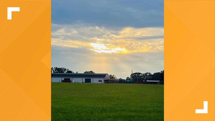
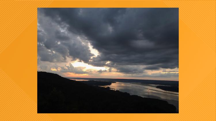
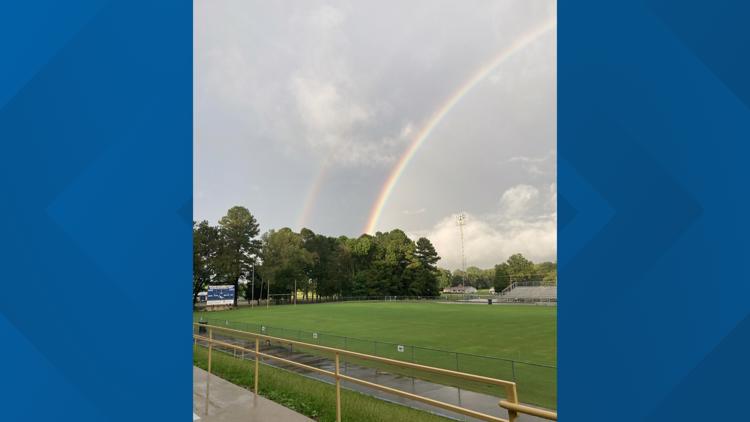
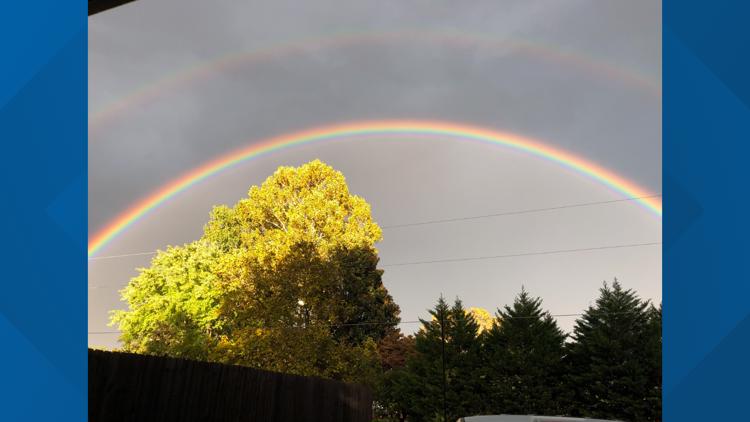
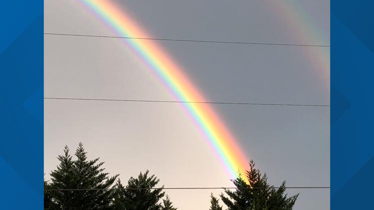
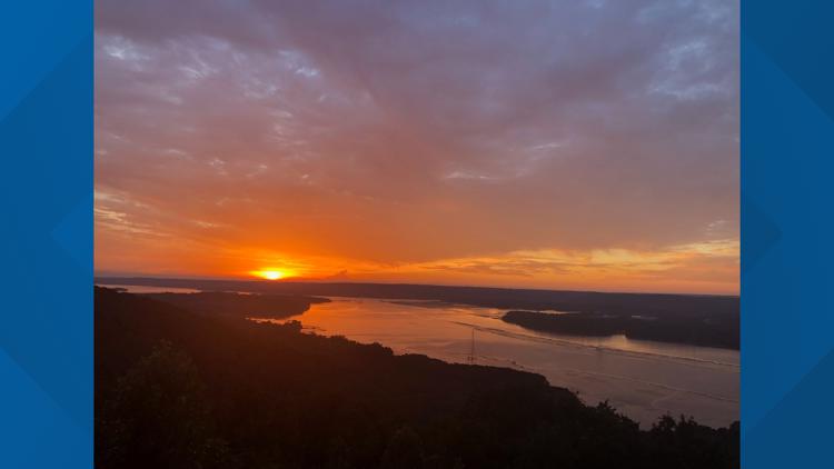
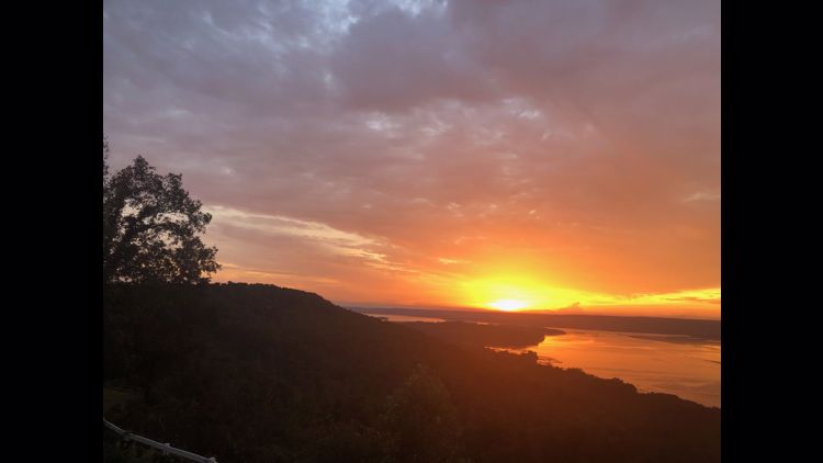
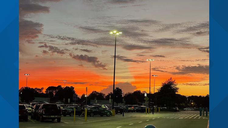
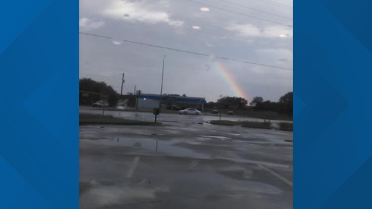
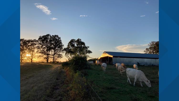
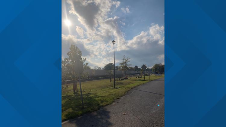
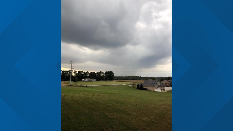
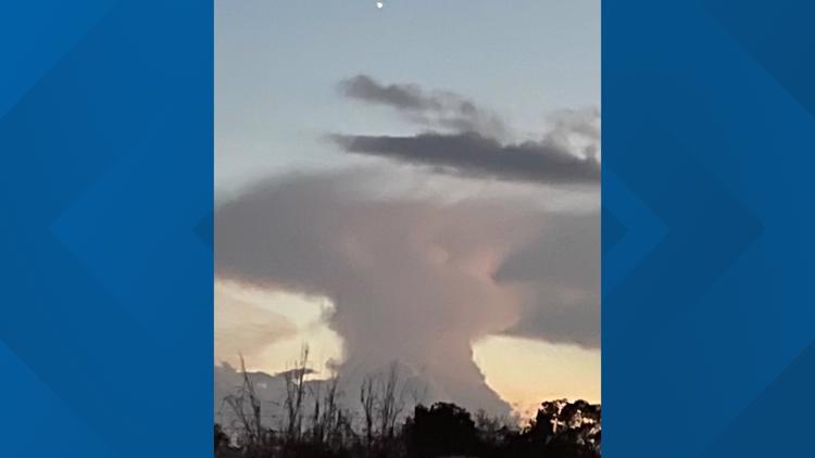
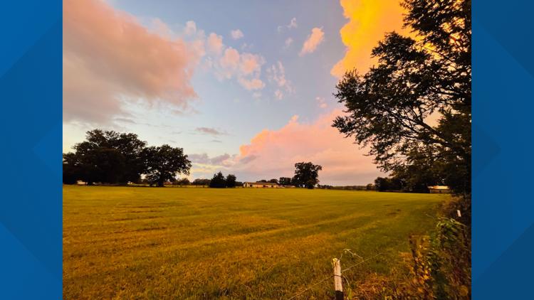
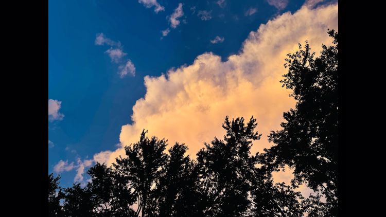
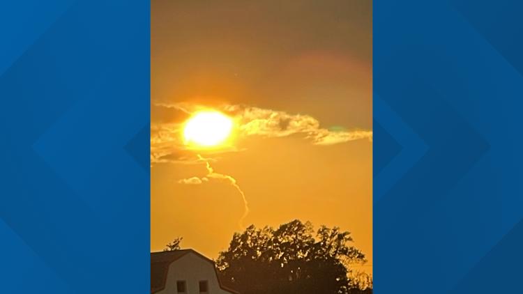
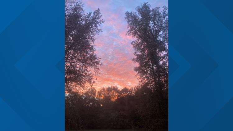
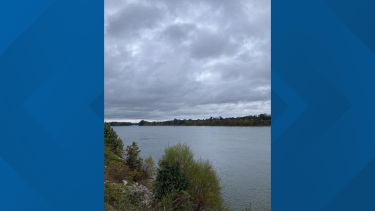
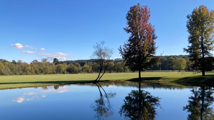
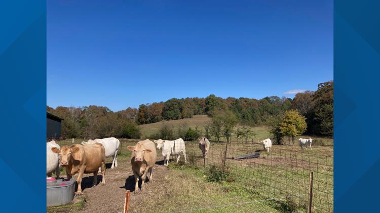
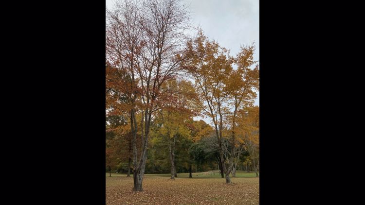
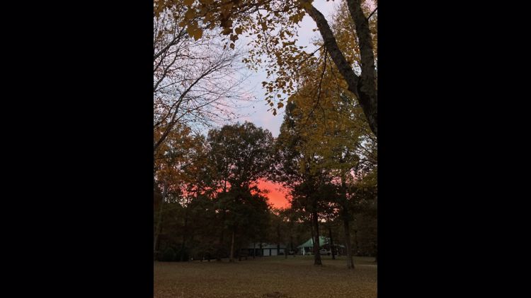
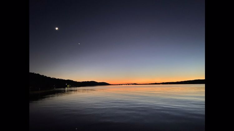
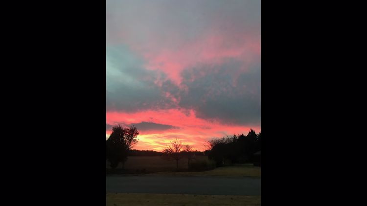
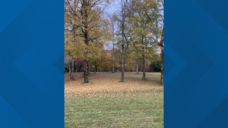
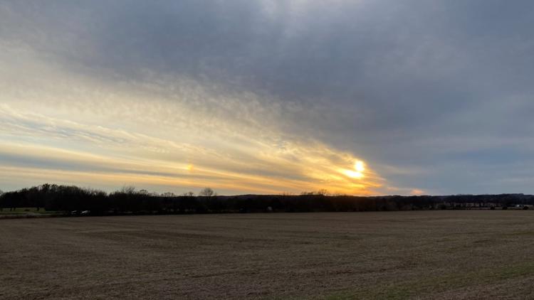
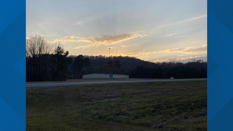
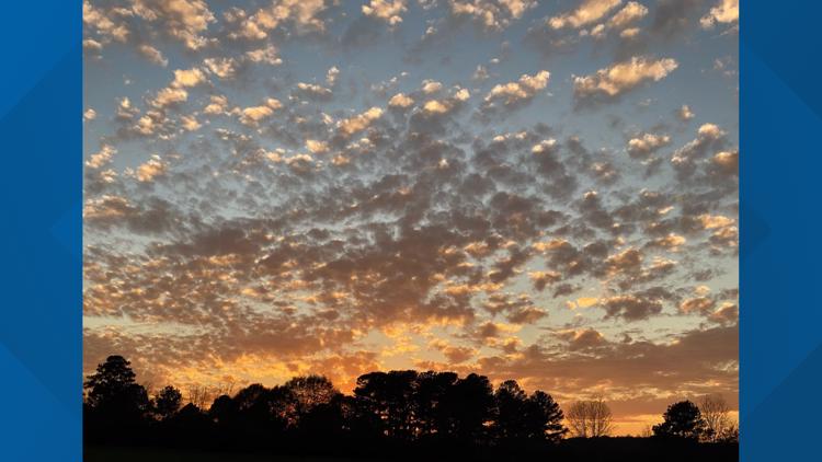
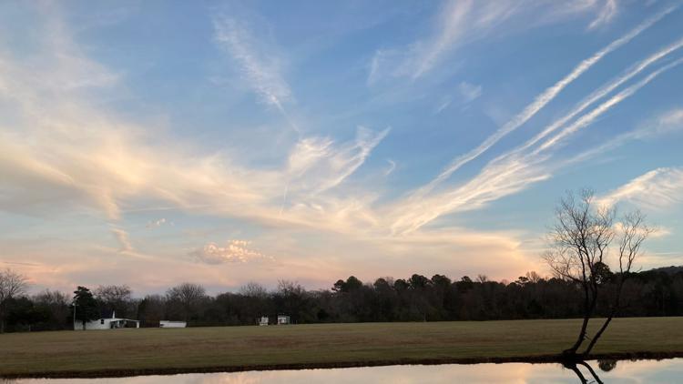
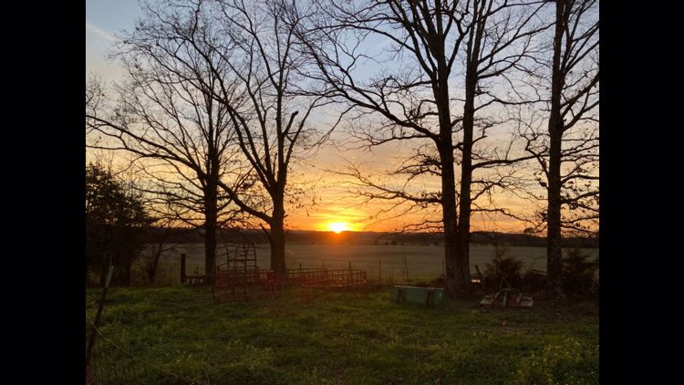
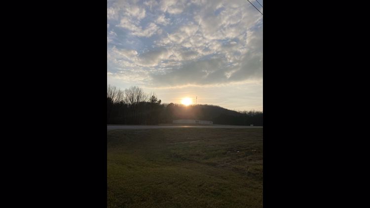
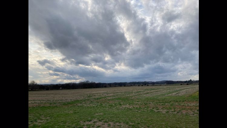
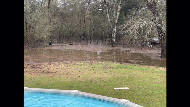
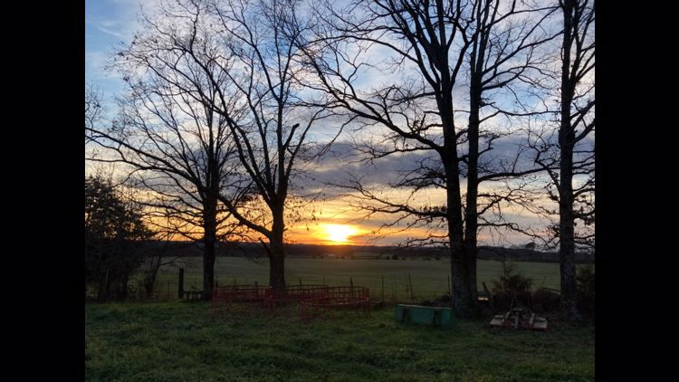
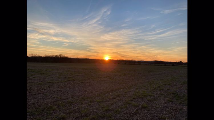
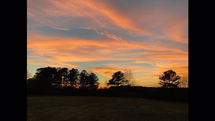
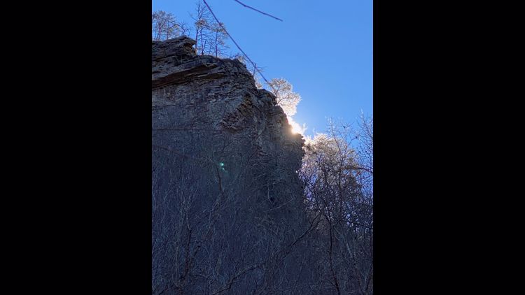
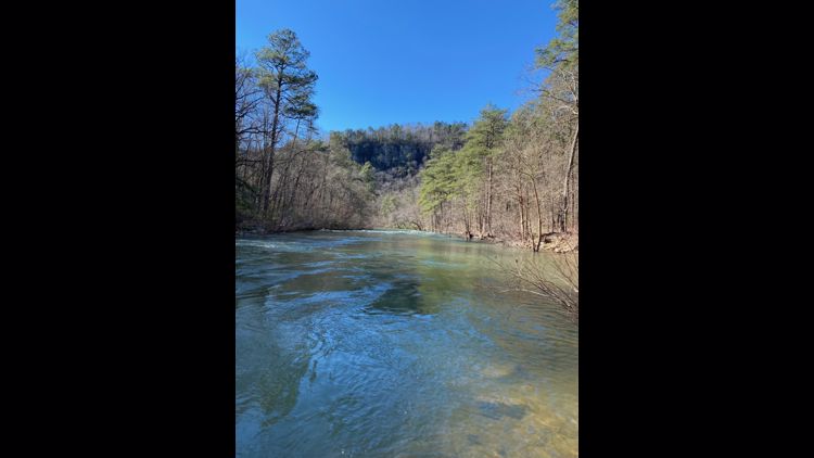
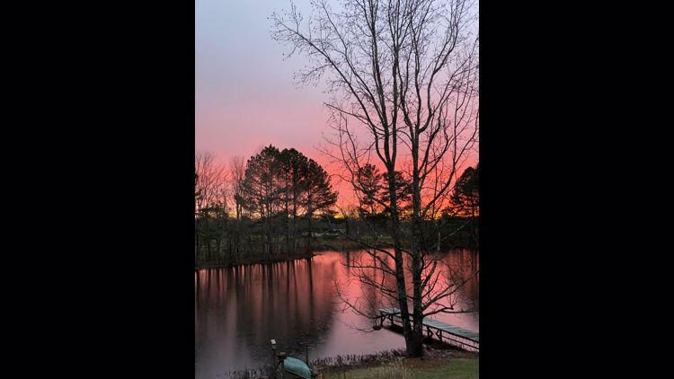
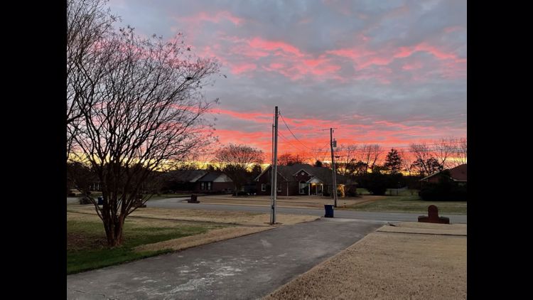
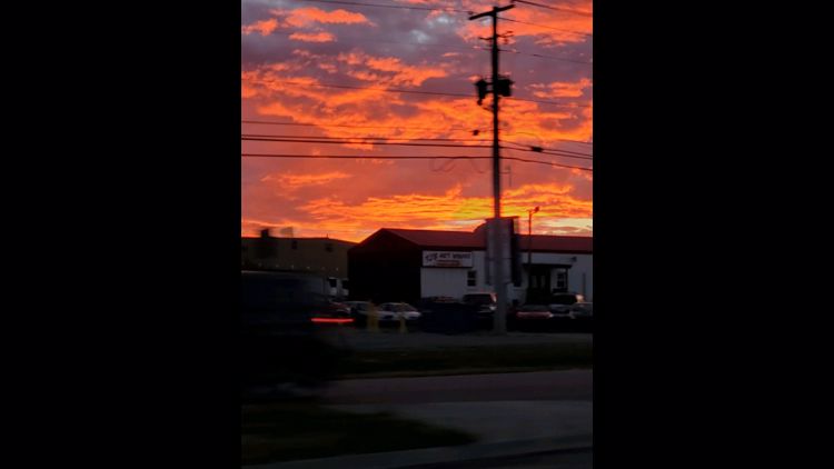
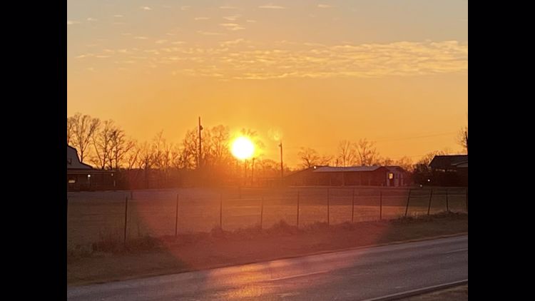
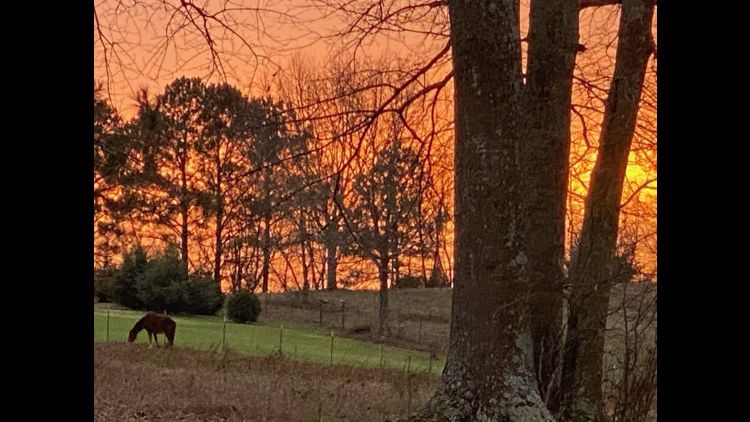
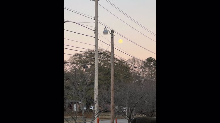
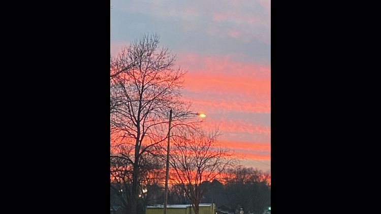
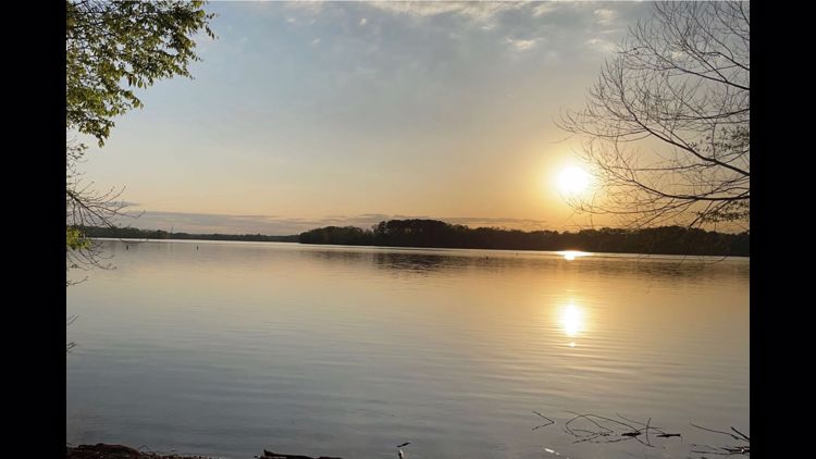
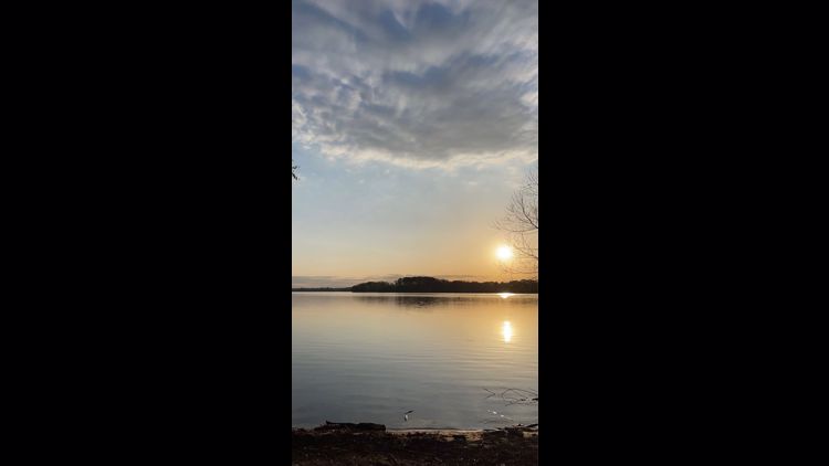
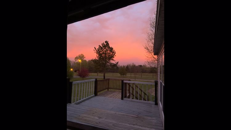
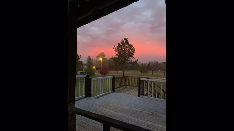
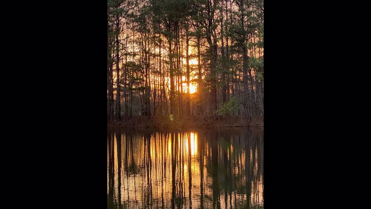
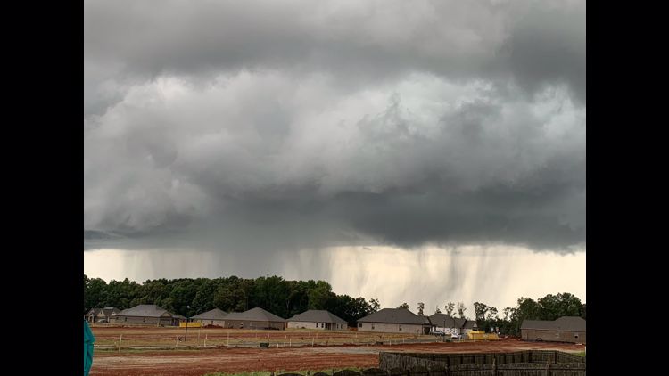
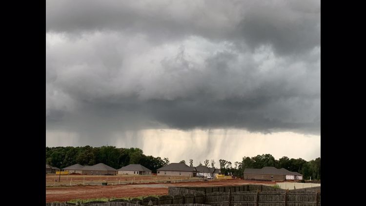
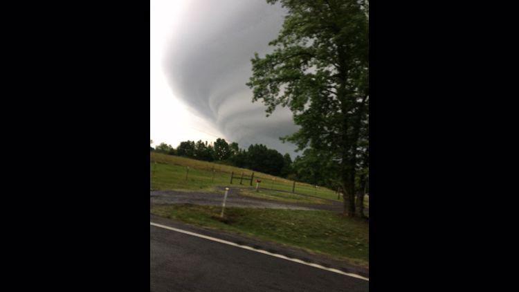
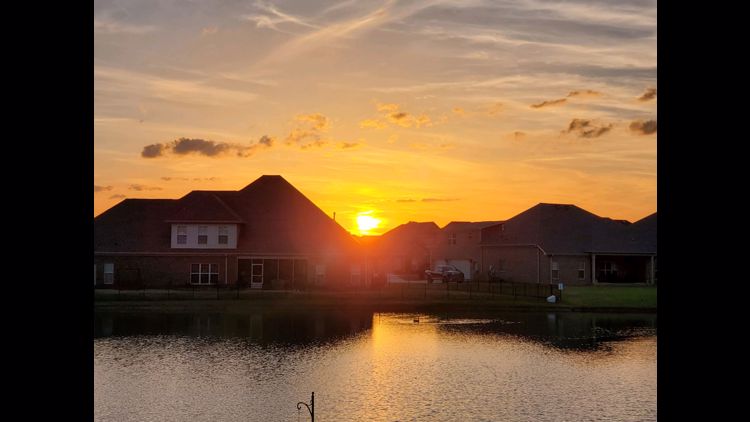
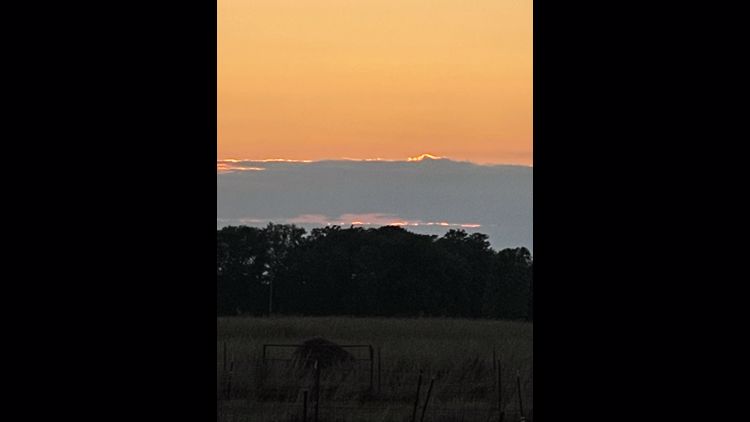
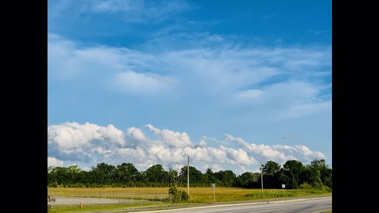
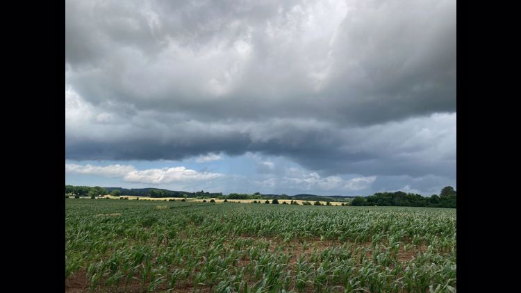
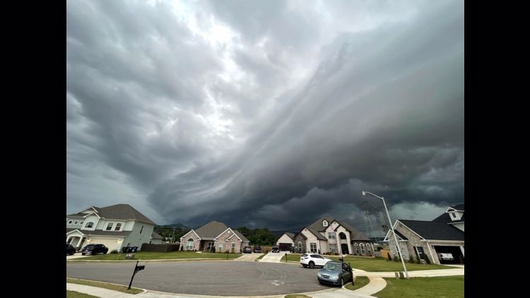
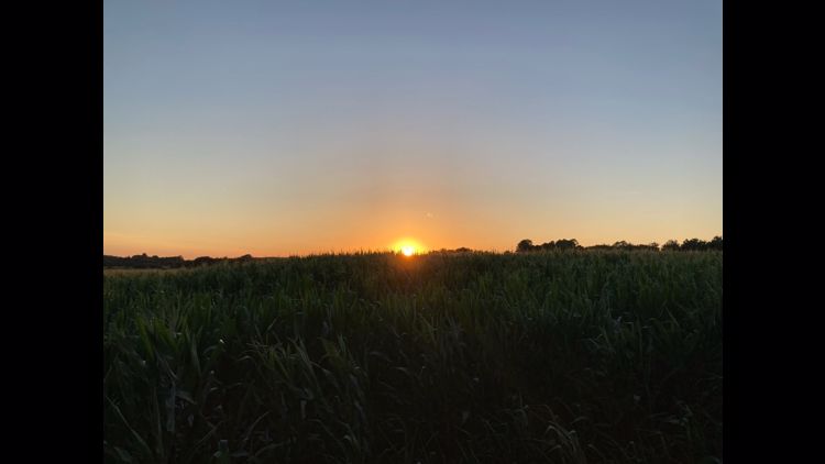
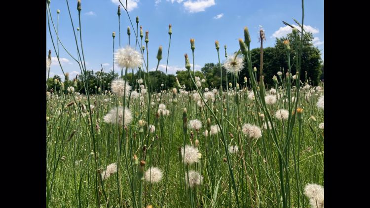
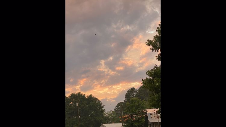
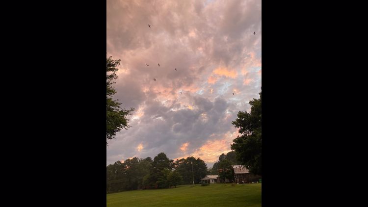
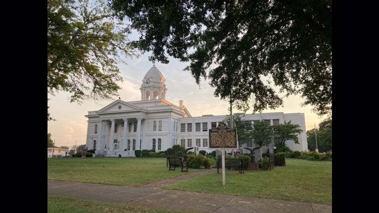
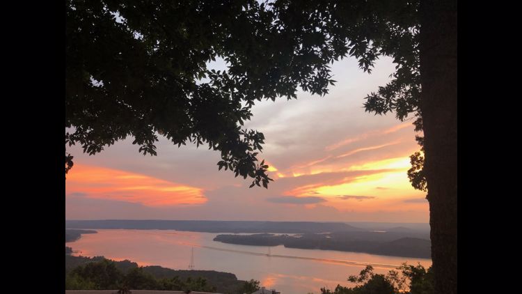
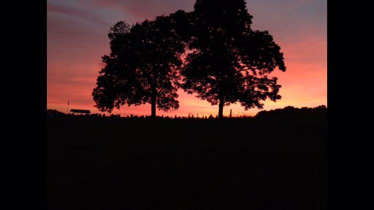
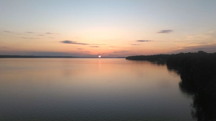
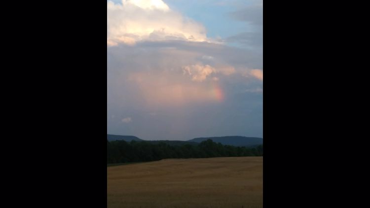
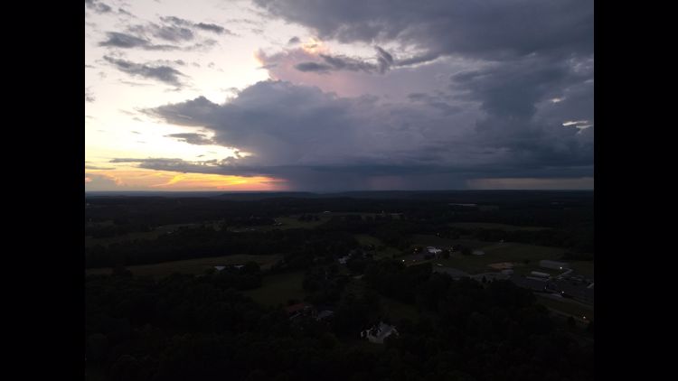
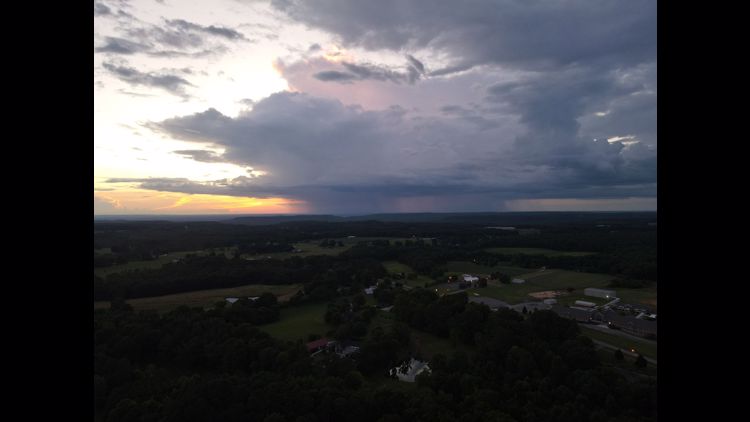
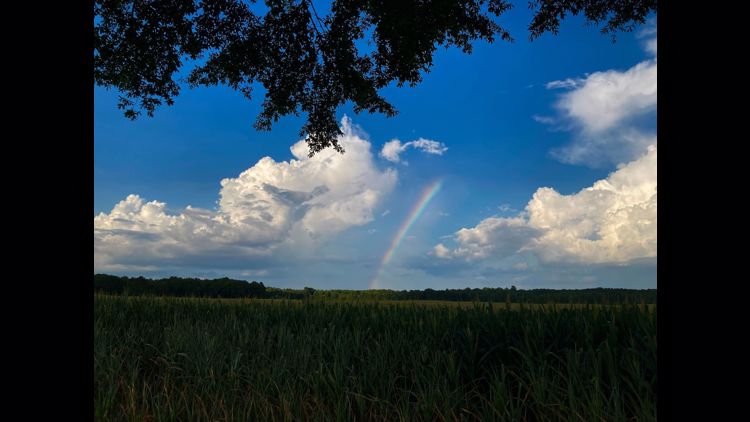
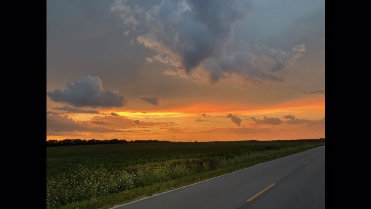
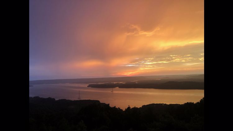
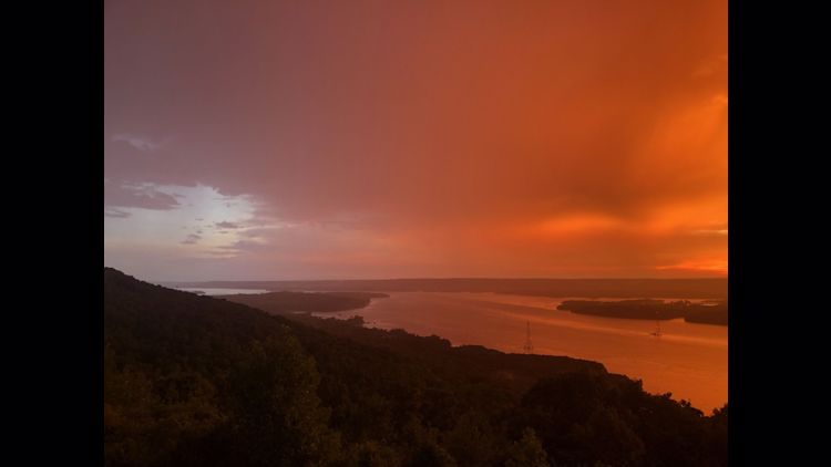
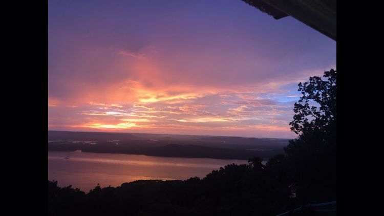
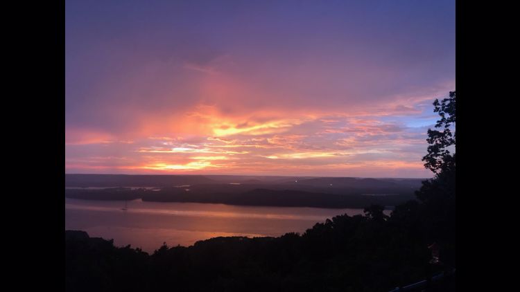
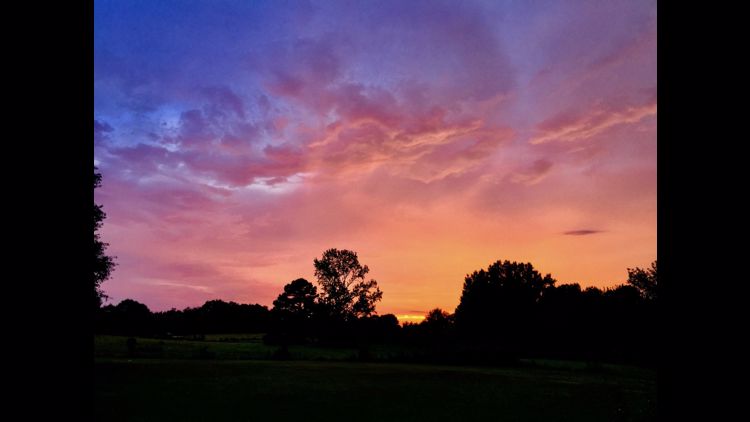
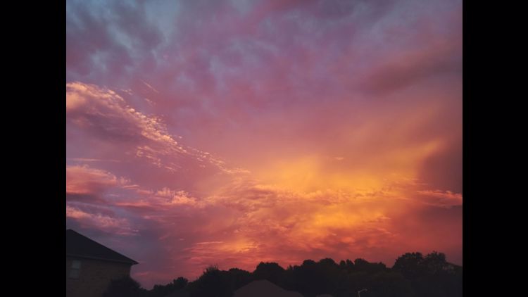
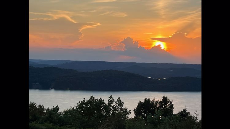
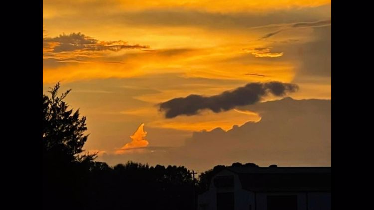
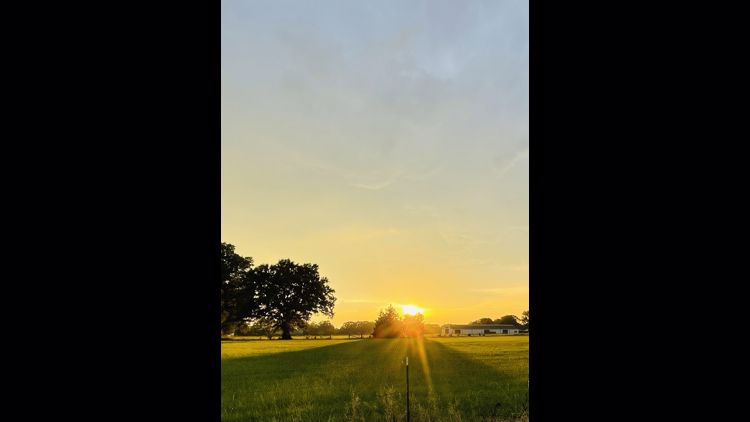
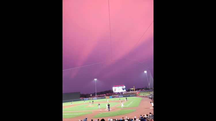
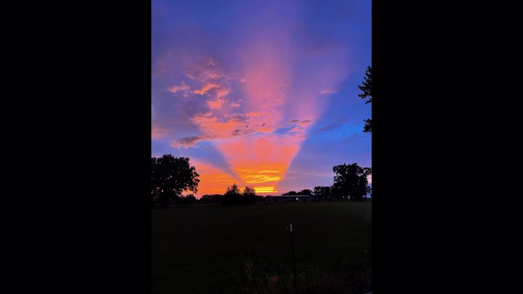
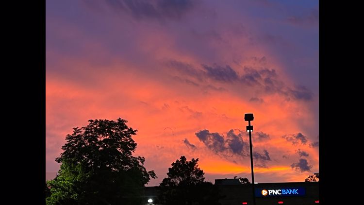
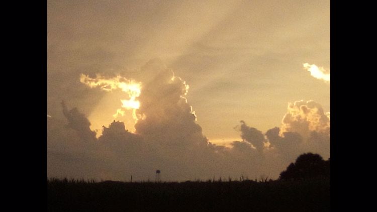
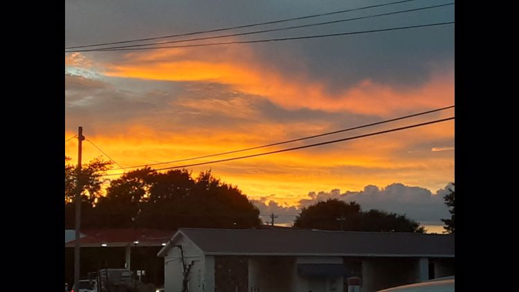
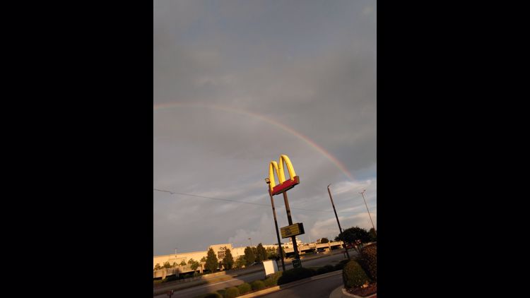
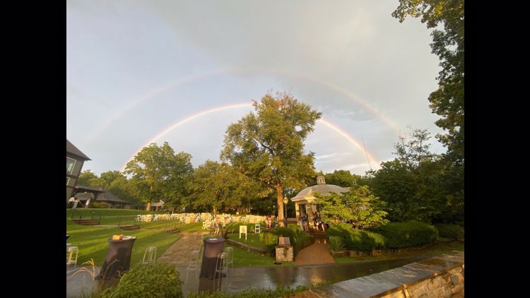
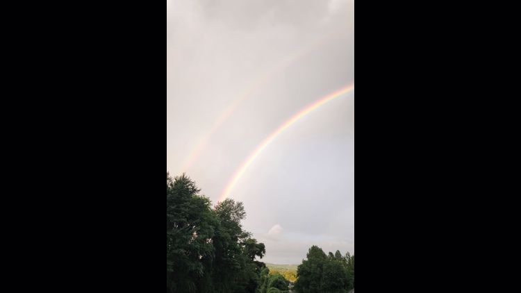
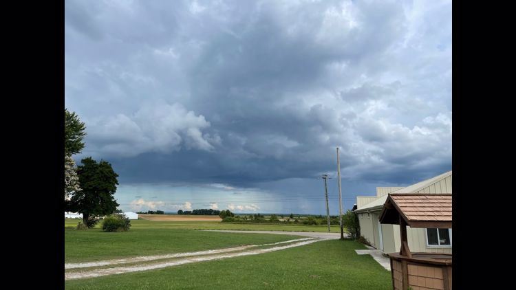
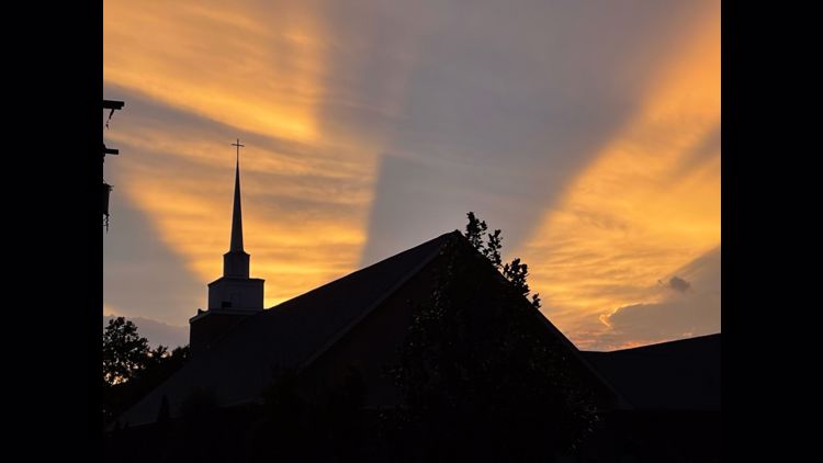
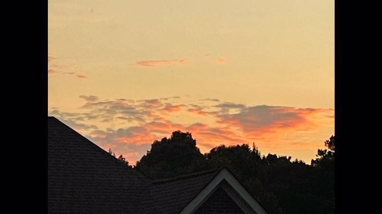
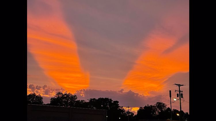
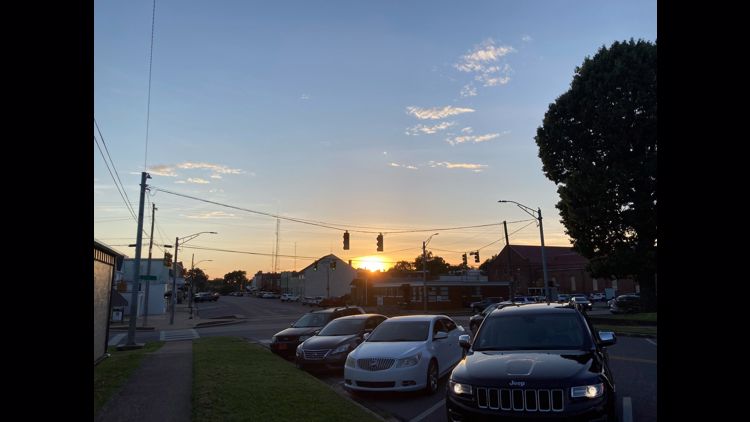
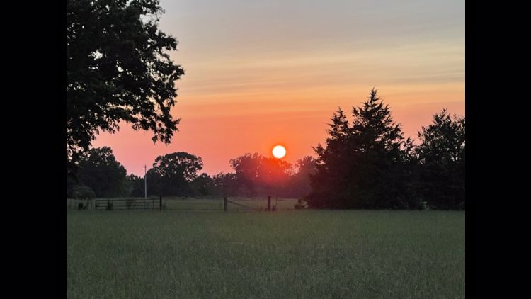
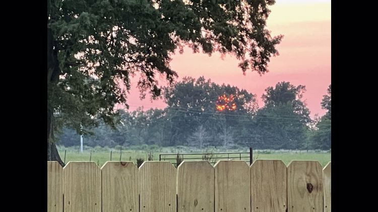
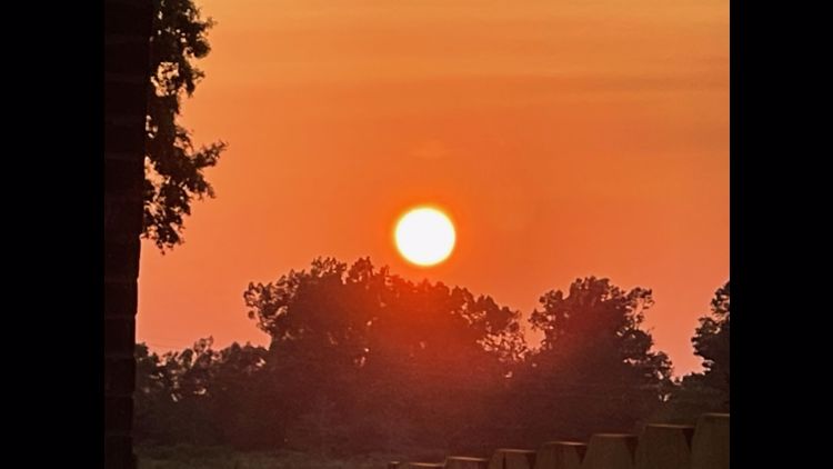
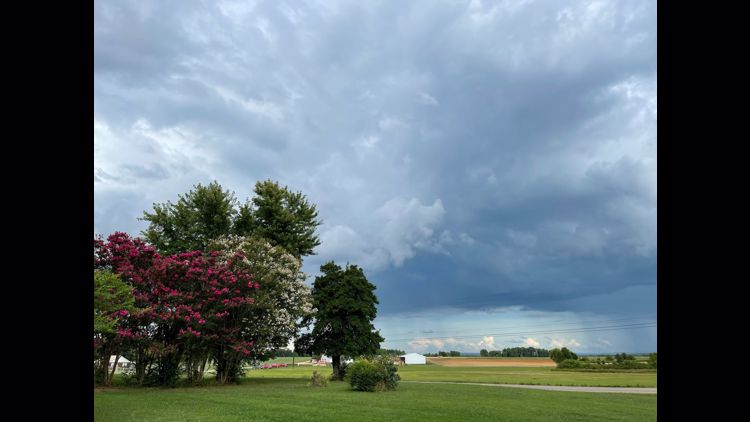
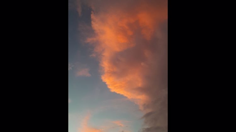
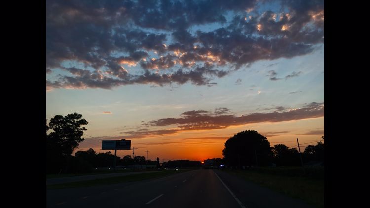
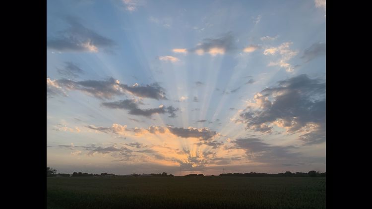
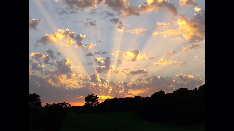
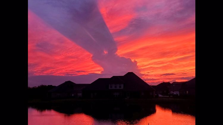
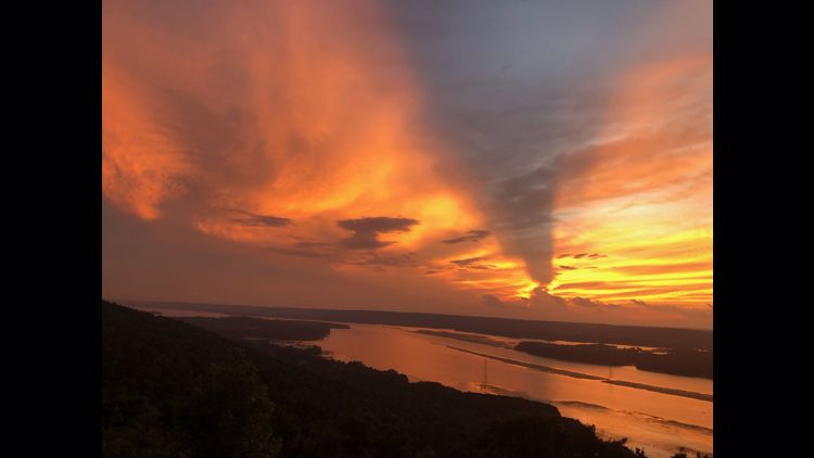
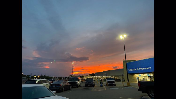
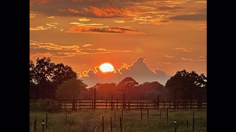
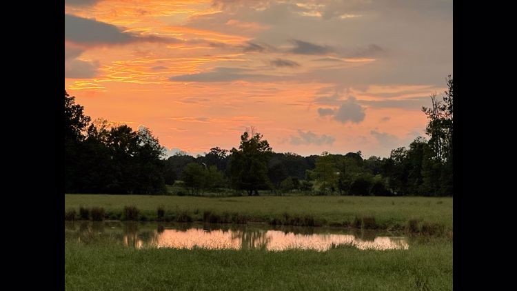
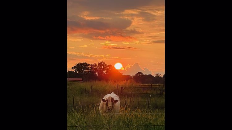
Your Tennessee Valley Weather Pics


For us, it somewhat helps reinforce the NW flow in the upper-atmosphere. Smaller systems will ride this pattern bringing continued opportunities for scattered showers on Friday.

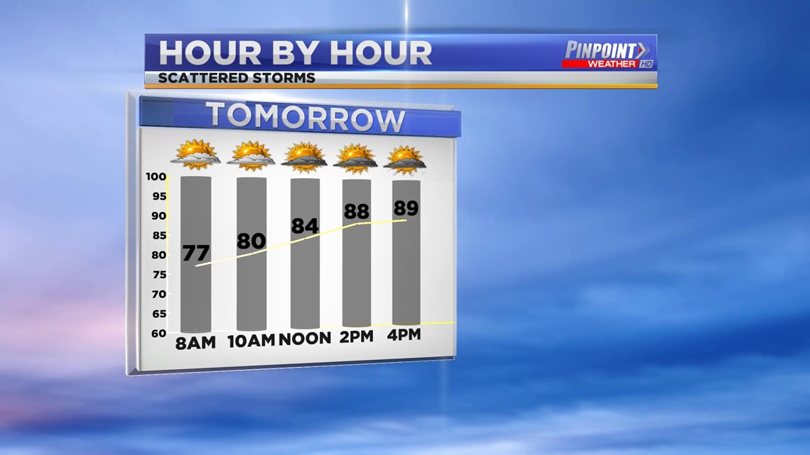
The northerly component to our winds may keep us from warming just a bit. We'll still be warm in the afternoon, but temperatures will only climb into the upper 80s near 90° both Thursday and Friday.

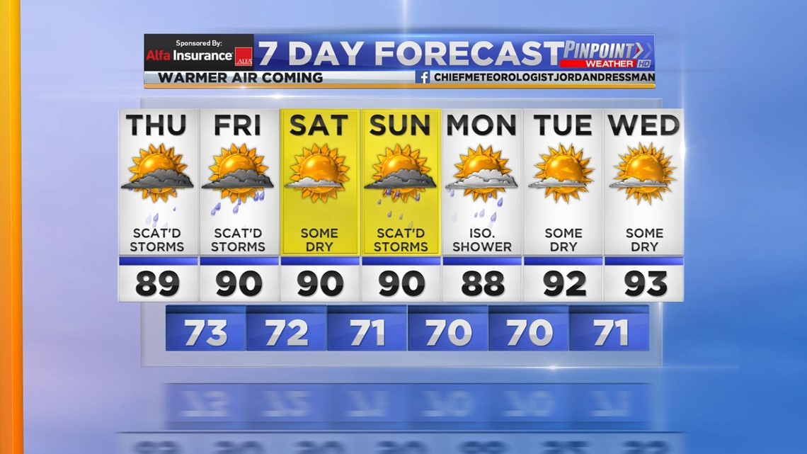
The 7-Day Forecast does show a much warmer air mass come Tuesday and Wednesday of next week. That is pending the aforementioned high over the SW would progress east and influence our weather pattern in the Tennessee Valley.

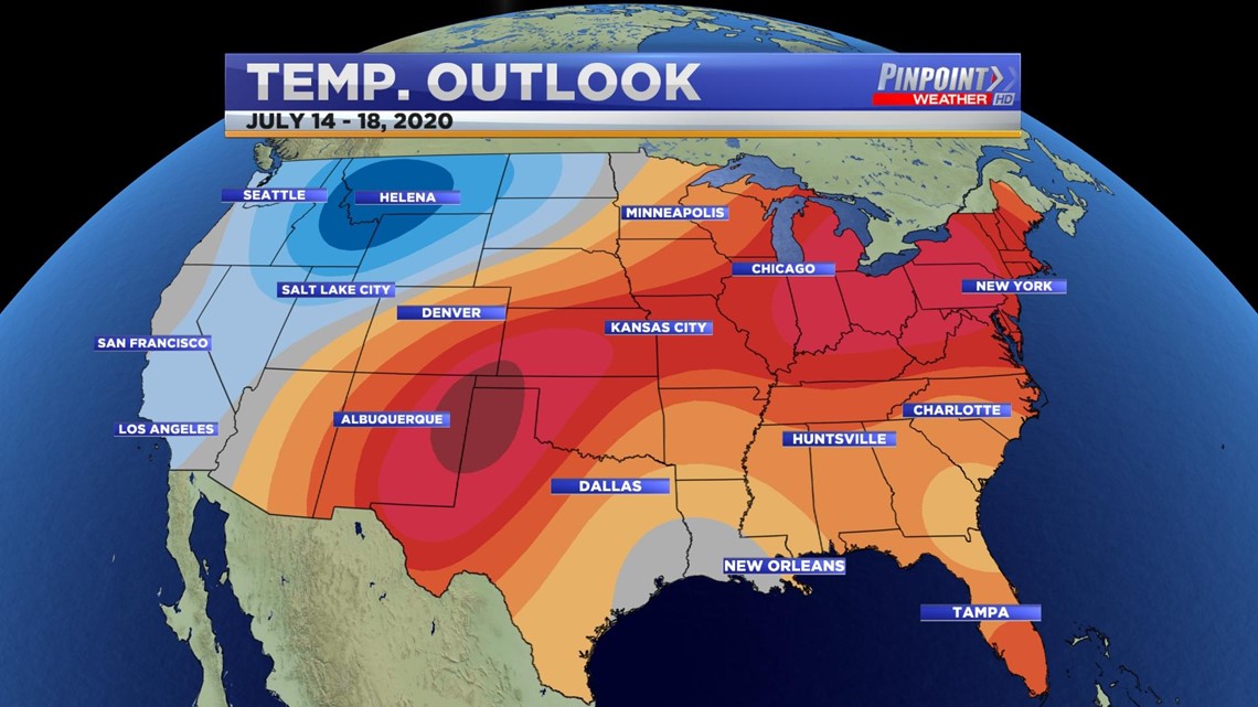
The CPC 6-10 Day forecast looks beyond the 7-Day. It does bring a 50% chance of above-average temperatures through the period July 14-18, 2020. Average for near mid-July is 91°.