
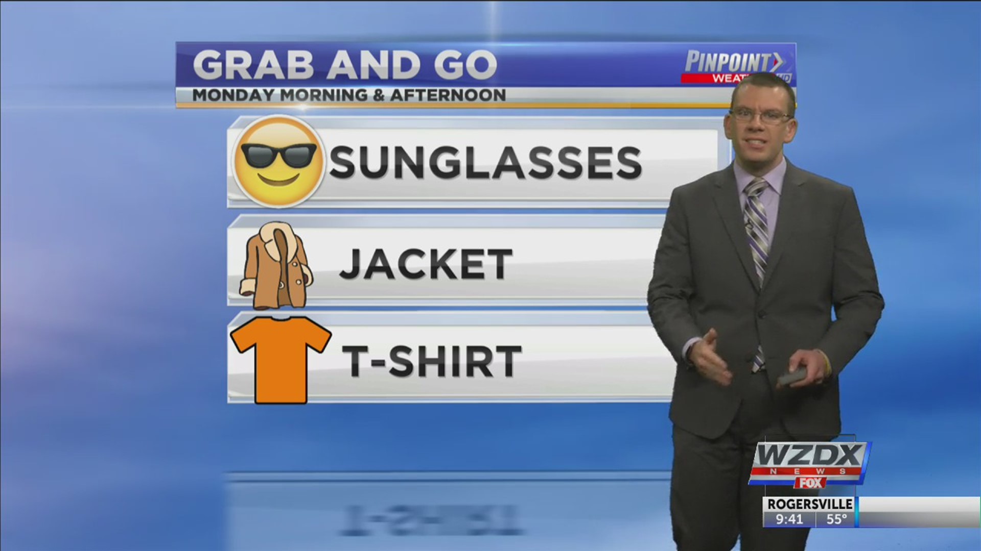
Good evening Tennessee Valley, and a very happy Sunday! Given the clear skies all day, HSV recorded an official high of 63 degrees. A cold front will come through tonight which will essentially reinforce the CAA across the Tennessee Valley. Don’t worry, there’s far too much dry air in place for any precipitation to be associated with this cold front. We’ll maintain the sunny skies Monday and Tuesday, but temperatures will fail to warm, and I only have temperatures in the mid and upper 50s. That’s a good 10 degrees below average.
Southerly flow returns Wednesday and Thursday as a very small system drops down from the Midwest. Both the GFS and EURO are trying to bring in a couple light showers. The GFS was quicker than the EURO suggesting we could see a passing shower Wednesday evening, but I’m not very confident in that.
A ridge of high pressure will set up Thursday and Friday and that’ll keep us dry until our next chance of rain comes next Sunday.