Our fourth named storm of the season developed in the Atlantic Ocean right around 24 hours ago. Tropical Storm Dorian formed southeast of the Lesser Antilles. Since then it really has not a whole lot in terms of further development.
It still sits with sustained winds of 40 mph making it a weak tropical storm at that. Dorian also has some obstacles in the way of further development.
The main obstacle is dry air. Dorian is ingesting a lot of it, and that could slow its development over the next couple of days. It still looks like Dorian will continue to develop and intensify, it just looks like it’s going to take a few days.

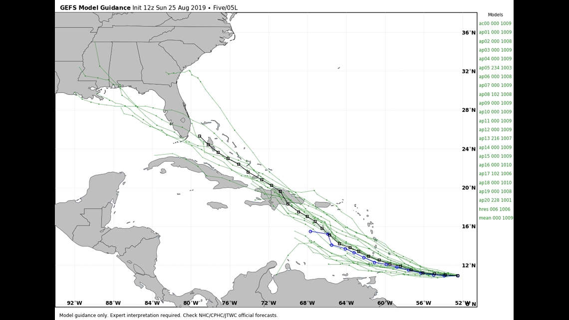
Model guidance seems to be pretty consistent as far as where Dorian is headed next. Most take Dorian through the Lesser Antilles and then on into the Caribbean.

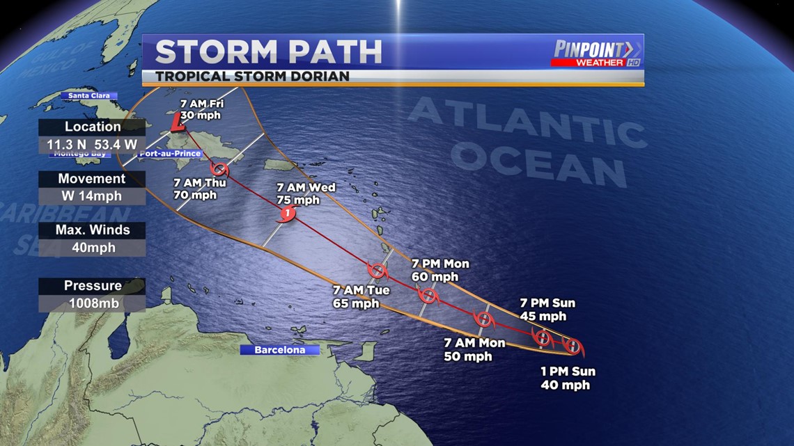
I can go ahead and make this a little easier to understand by taking out the different models and showing the general cone of uncertainty. This image also shows Dorian strengthening to a category one hurricane before weakening upon interaction with land.
Hurricanes and other tropical disturbances do not like land as they require warm open water in order to see further development.
It is still too early to tell if Dorian will have an impact on the Continental United States.
A Tropical Storm Warning is in effect for Barbados and a Tropical Storm Watch in effect for St. Lucia, St. Vincent, and the Grenadines.

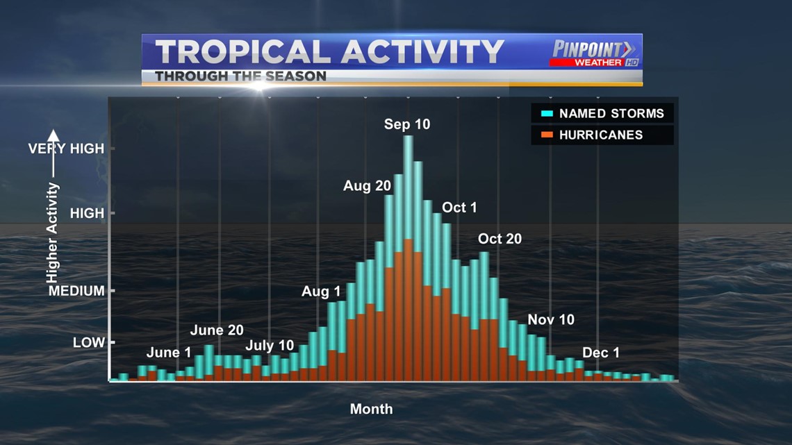
Dorian comes right on schedule as the busiest part of Hurricane Season is late August and early September.